
OS grid reference SO338663 Sovereign state United Kingdom Population 110 (2011) | Unitary authority Postcode district LD8 Dialling code 01544 | |
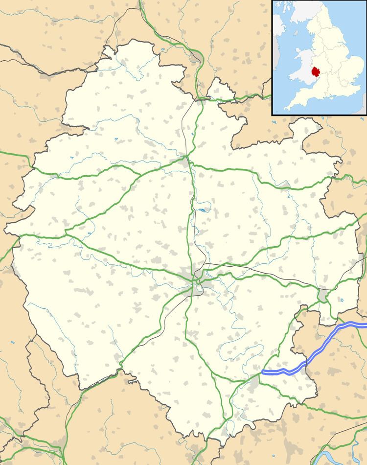 | ||
Stapleton is a small hamlet and civil parish in Herefordshire near the Welsh border town of Presteigne. The hamlet itself has approximately 25 residents as well as the ruins of a medieval castle.
Contents
Map of Stapleton, UK
History
Historically, the hamlet and parish were once more important than its now larger neighbour, Presteigne, during the Middle Ages, but eventually slipped into decline while its neighbour grew. There was also a recent archaeological excavation of a field, which found some ancient remains. The parish began life in 1144 when the lord of Richards Castle was expelled from Presteigne. In response he built Stapleton castle which became the new centre of his lordship in the Welsh Marches.
Local area
The village is surrounded by farmland, from which most of its employment is based. There is also a gardens, Bryan's Ground, which attracts tourists.
The parish borders on several other parishes, including Willey, Kinsham and Presteigne.