
Country United States FIPS code 26-76240 Elevation 297 m Zip code 49346 Population 215 (2013) | Time zone Eastern (EST) (UTC-5) GNIS feature ID 1621761 Area 62 ha Local time Saturday 9:26 PM Area code 231 | |
 | ||
Weather 2°C, Wind E at 24 km/h, 91% Humidity | ||
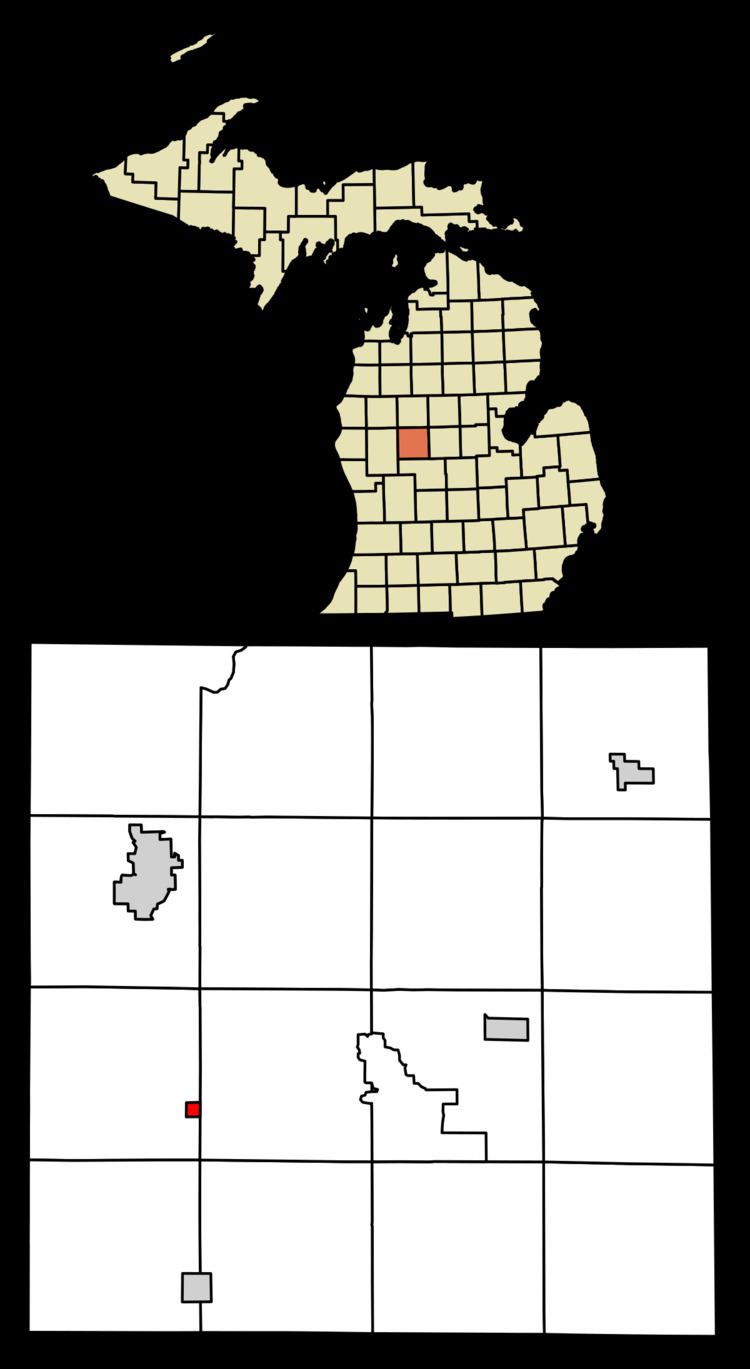
Stanwood is a village in Mecosta County of the U.S. state of Michigan. The population was 211 at the 2010 census. The village is within Mecosta Township.
Contents
Map of Stanwood, MI 49346, USA
Geography
According to the United States Census Bureau, the village has a total area of 0.24 square miles (0.62 km2), all land.
Demographics
The area was settled by John Bell in the 1850s. He came from Ontario, Canada. He was one of the first settlers in the area. He was a logger and started Bell's Siding, which was a logging community, that was located near Morley Stanwood Middle School and High School. The Bell family is still in the area and consists of Theodore and Judy Bell, Marvin and Jean Bell, Kimberly Preston(Bell), Mitch Bell, Nathan Bell, Ashlen Bell among others.
2010 census
As of the census of 2010, there were 211 people, 76 households, and 59 families residing in the village. The population density was 879.2 inhabitants per square mile (339.5/km2). There were 84 housing units at an average density of 350.0 per square mile (135.1/km2). The racial makeup of the village was 95.3% White, 2.8% African American, and 1.9% from two or more races. Hispanic or Latino of any race were 2.8% of the population.
There were 76 households of which 40.8% had children under the age of 18 living with them, 57.9% were married couples living together, 17.1% had a female householder with no husband present, 2.6% had a male householder with no wife present, and 22.4% were non-families. 18.4% of all households were made up of individuals and 3.9% had someone living alone who was 65 years of age or older. The average household size was 2.78 and the average family size was 3.07.
The median age in the village was 37.4 years. 26.1% of residents were under the age of 18; 10.4% were between the ages of 18 and 24; 22.8% were from 25 to 44; 29.4% were from 45 to 64; and 11.4% were 65 years of age or older. The gender makeup of the village was 51.2% male and 48.8% female.
2000 census
As of the census of 2000, there were 204 people, 77 households, and 58 families residing in the village. The population density was 836.0 per square mile (328.2/km²). There were 83 housing units at an average density of 340.1 per square mile (133.5/km²). The racial makeup of the village was 99.51% White, and 0.49% from two or more races.
There were 77 households out of which 33.8% had children under the age of 18 living with them, 62.3% were married couples living together, 7.8% had a female householder with no husband present, and 23.4% were non-families. 18.2% of all households were made up of individuals and 6.5% had someone living alone who was 65 years of age or older. The average household size was 2.65 and the average family size was 2.97.
In the village, the population was spread out with 25.0% under the age of 18, 6.9% from 18 to 24, 30.9% from 25 to 44, 27.0% from 45 to 64, and 10.3% who were 65 years of age or older. The median age was 38 years. For every 100 females there were 98.1 males. For every 100 females age 18 and over, there were 104.0 males.
The median income for a household in the village was $39,000, and the median income for a family was $43,750. Males had a median income of $31,875 versus $25,625 for females. The per capita income for the village was $17,121. None of the families and 3.8% of the population were living below the poverty line.