
OS grid reference NZ135895 Sovereign state United Kingdom Local time Sunday 2:17 AM | Unitary authority Postcode district NE65 Dialling code 01670 | |
 | ||
Weather 3°C, Wind N at 3 km/h, 70% Humidity | ||
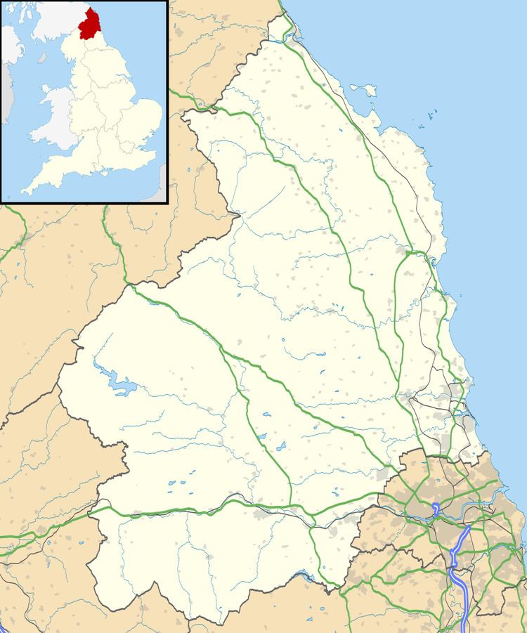
Stanton is a small hamlet in Northumberland, England which is located 7 miles (11 km) north west of Morpeth, and 15 miles (24 km) north of Newcastle-Upon-Tyne. Stanton is surrounded by scenic countryside, and is only 9 miles (14 km) from the Northumberland National Park (NNPA).
Contents
Map of Stanton, Morpeth, UK
Stanton has a long history, and used to be made up of many small houses which ran up only one side of the single road.
The hamlet lies near to the River Font which joins the Wansbeck River near Mitford.
Governance
Stanton is in the parliamentary constituency of Berwick-upon-Tweed.
References
Stanton, Northumberland Wikipedia(Text) CC BY-SA