
Coat of arms Flag selsoviet 18 Area 1,349 km² | Administrative center selo of Stanovoye Rural localities 121 | |
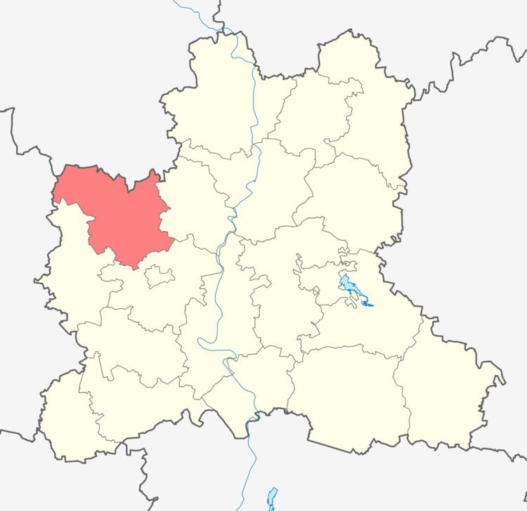 | ||
Stanovlyansky District (Russian: Становля́нский райо́н) is an administrative and municipal district (raion), one of the eighteen in Lipetsk Oblast, Russia. It is located in the northwest of the oblast. The area of the district is 1,350 square kilometers (520 sq mi). Its administrative center is the rural locality (a selo) of Stanovoye. Population: 18,746 (2010 Census); 20,424 (2002 Census); 21,650 (1989 Census). The population of Stanovoye accounts for 28.0% of the district's total population.
Map of Stanovlyansky District, Lipetsk Oblast, Russia
References
Stanovlyansky District Wikipedia(Text) CC BY-SA