
Country Ukraine District Kalush Raion Time zone EET (UTC+2) Area 17.35 km² | Province Ivano-Frankivsk Oblast Elevation 316 m (1,037 ft) Postal code 77321 Local time Sunday 1:43 AM | |
 | ||
Weather 4°C, Wind NW at 16 km/h, 81% Humidity | ||
Stankova (Ukrainian: Станько́ва) is a village in the north of Kalush Raion, Ivano-Frankivsk Oblast, on the border of the Zhydachiv Raion, Lviv Oblast.
The population of the village is 1266 persons and Local government is administered by Stankovaska village council. To the village council Stankova belongs Vylky village.
Contents
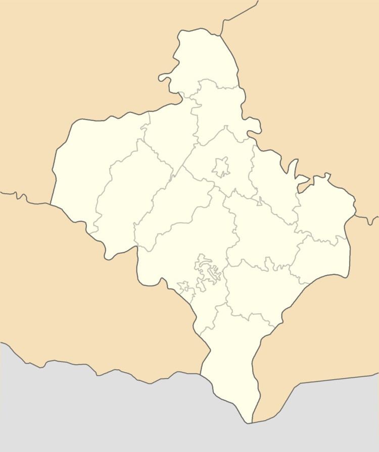
Map of Stan'kova, Ivano-Frankivska, Ukraine
Geography
This village is located on the altitude of 316 metres (1,040 ft) above sea level, its total area is 17,35 km2.
The village is located away from the central of roads at a distance from the regional center Ivano-Frankivsk 52 kilometres (32 mi) , 20 kilometres (12 mi) from the district center Kalush, and 101 kilometres (63 mi) from the Lviv.
History and Attractions
The first written mention of the village belongs to 1158.
The village has two churches:
1. Of the Archangel Michael Church (built in 1994).
2. Church of the Nativity. The wooden church, an architectural monument of local importance (built in 1866).