
County Hordaland Area 40 ha Population 783 (2013) | Elevation 6 m (20 ft) Local time Saturday 10:41 PM | |
 | ||
Weather 6°C, Wind SE at 8 km/h, 93% Humidity | ||
Stanghelle is a village in Vaksdal municipality in Hordaland county, Norway. The village lies along the Veafjorden at the mouth of the Hellestraumen (a small branch off the main fjord). The 0.4-square-kilometre (99-acre) village has a population (2013) of 783, giving the village a population density of 1,958 inhabitants per square kilometre (5,070/sq mi).
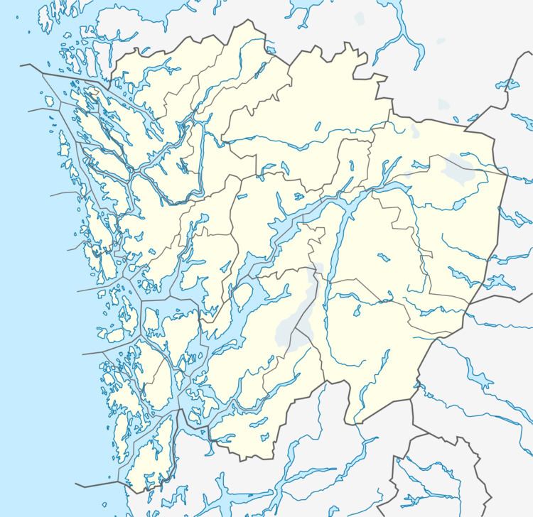
Map of 5724 Stanghelle, Norway
The European route E16 highway runs through the village and the Bergensbanen railway line stops at the Stanghelle Station in this village. The village of Helle lies immediately northeast of Stanghelle, and the municipal centre of Dale lies about 5 kilometres (3.1 mi) northeast of Stanghelle.
References
Stanghelle Wikipedia(Text) CC BY-SA