
Country United States Time zone Mountain (MST) (UTC-7) Elevation 1,758 m Local time Saturday 2:57 PM | Settled 1892 GNIS feature ID 1437693 Zip code 84329 Area code 435 | |
 | ||
Weather 8°C, Wind NW at 16 km/h, 50% Humidity | ||
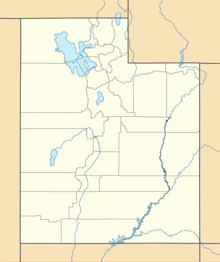
Standrod is an unincorporated community in extreme northwestern Box Elder County, Utah, United States, very close to the state line with Idaho. Standrod is a rural community that is reached primarily by dirt roads. The residents of Standrod primarily rely on agriculture. The community is in the area of the Raft River Mountains. The climate of the area has four distinct seasons that occur in the northern Great Basin area.
Map of Standrod, UT 83342, USA
Standrod was first settled in 1892. In 1898 a school house was built, placed deliberately on the state line so it was half in Idaho and half in Utah. The town was named for a judge in Idaho.
References
Standrod, Utah Wikipedia(Text) CC BY-SA