
OS grid reference SE105965 Country England Post town Richmond Shire county North Yorkshire | Civil parish Stainton Sovereign state United Kingdom Local time Saturday 3:53 PM District Richmondshire | |
 | ||
Region Yorkshire and the Humber Weather 14°C, Wind NE at 8 km/h, 34% Humidity | ||
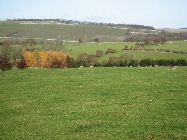
Stainton is a hamlet and civil parish in the Richmondshire district of North Yorkshire, England. It is located on the border of the Yorkshire Dales, with a population of 54. At the 2011 Census the population of the civil parish remained less than 100. Information is included in the parish of Hudswell. It lies close to the army training camp of Wathgill.
Map of Stainton, UK
A little over a mile to the south-east, Walburn Hall is a fortified house probably dating from the 12th century but much altered in the 15th and 16th centuries.
References
Stainton, Richmondshire Wikipedia(Text) CC BY-SA