
Population 152 (2006 census) LGA(s) Shire of Indigo Postal code 3691 | Postcode(s) 3691 State electorate(s) Benambra Federal division Division of Indi | |
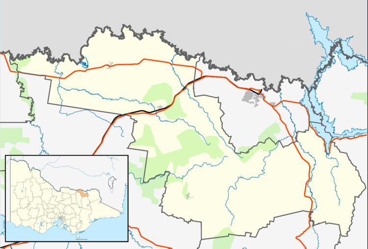 | ||
Staghorn Flat is a rural locality in the Yackandandah Valley of north east Victoria, situated between Wodonga and Yackandandah. It is shared between the Shire of Indigo and the City of Wodonga. At the 2006 census, Staghorn Flat had a population of 152.
Map of Staghorn Flat VIC 3691, Australia
References
Staghorn Flat, Victoria Wikipedia(Text) CC BY-SA