
Peak Crusline Provinces of Ireland Munster | Country Republic of Ireland Elevation 355 m | |
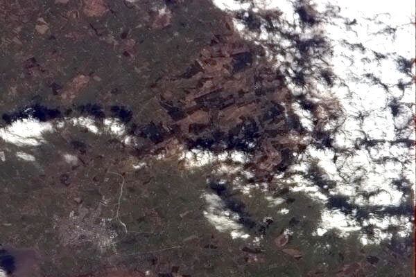 | ||
Mountain top stack s mountains 1
The Stack's Mountains are a mountain range about seven kilometres northeast of Tralee, along the N69 road in County Kerry in Ireland.
Contents
- Mountain top stack s mountains 1
- Mountain top stack s mountains 2
- Landscape and natureEdit
- RecreationEdit
- References
The highest peak in the range is Crusline, which is 355 metres high. It is the highest peak in Kerry north of Tralee (higher than Knockanore at 267metres and Maulin at 217 metres). It is also the 189th tallest peak in Munster, and the 507th in Ireland Nearby summits include Ballincollig Hill (353 m), Beennageeha Mountain (321 m), and Stack's Mountain (Irish: Cnoc an Stacaigh; 323 m).
Mountain top stack s mountains 2
Landscape and natureEdit
The range is characterised by moorland and limited open pasture, with 4,700 hectares of young coniferous forest plantations of mainly Sitka spruce – with Japanese larch, pines, firs and cedars, along with some broadleaved trees such as birch, ash, alder, oak, willow, sycamore, and holly – most managed by the forest management company, Coillte.
The local conifer forests, open heather moors, and grassland are habitats for fauna such as the hen harrier, Irish hare, red fox, red grouse, snipe, cuckoo, and meadow pippit. The neighbouring Glanaruddery Mountains to the southeast are divided from the Stack's Mountains by the valley of the Smearlagh River.
RecreationEdit
The Lyracrumpane Development Association in cooperation with Coillte have created the four-mile "Mass Path and River Walk" along the banks of the Smearlagh River, and the ten mile "Fionn MacCumhaill" trek through open countryside and Coillte forest plantations.
The seven-mile Smearlagh River, which is a tributary of the River Feale, is formed in the Stack's Mountains and Glanaruddery Mountains from the Broghane Stream, Dromaddamore River, Glashoreag River, and Lyracrumpane River. The Smearlagh meets the Feale at Inchymagilleragh, three miles east of Listowel, where the confluence is known as "The Joinings". The Smearlagh is a swift river that provides good salmon and sea trout fishing.