
Length 7.5 km (4.66 mi) Highest elevation 908 m (2,979 ft) | Area 25 km (9.7 sq mi) Width 6.4 km (3.98 mi) Highest point Innerbergsalen | |
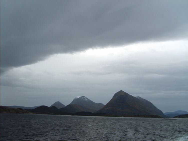 | ||
Stabblandet is an island in Aure Municipality in Møre og Romsdal county, Norway. The 25-square-kilometre (9.7 sq mi) island lies to the west of the island of Ertvågsøya, south of Solskjelsøya, east of Tustna, and north of the mainland of Halsa Municipality. Most of the population lives on the northern part of the island. The highest point on the island is the 908-metre (2,979 ft) tall mountain Innerbergsalen.
Map of Stabblandet, 6590 Tustna, Norway
References
Stabblandet Wikipedia(Text) CC BY-SA