Country Canada Time zone CST Area 212 ha Local time Saturday 1:54 AM Area code 306 | Post office Founded 1915 Postal code S0M 2T0 Population 716 (2011) | |
 | ||
Weather -1°C, Wind E at 19 km/h, 92% Humidity | ||
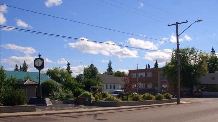
St. Walburg is a town located in west-central Saskatchewan's prairie region on Saskatchewan Highway 26. St. Walburg is surrounded by the Rural Municipality of Frenchman Butte No. 501. 10 kilometres to the north is the Bronson Provincial Forest.
Contents
Map of St Walburg, SK, Canada
History
The town and surrounding area was originally settled mostly by German settlers between the 1910s and 1930s with a few Polish, Ukrainian and French settlers arriving later.
The Canadian Northern Railway (CNoR) continued the ongoing extension of its northwest branch line from North Battleford, reaching St. Walburg in 1919. This caused a boom in the area, with many homesteaders arriving within months, now able to deliver their production to the grain elevators at St. Walburg. The branch had served Hamlin, Prince, Meota (1910 extension), Cavalier, Vawn, Edam, Mervin, Turtleford (1914 extension), Cleeves, Spruce Lake and St. Walburg, with a fork to Paradise Hill and Frenchman Butte. The rail line and the later Saskatchewan Highway 26 ran beside each other from Prince to St. Walburg. The Canadian National Railway abandoned the entire branch line in 2005, when the remaining grain elevators closed. The line was officially abandoned in 2008.
Demographics
St. Walburg legal land description: SE-5-54-22-W3
Economy
The main economies are grain and some cattle farming. The oil and natural gas industries are become increasingly important in the area. There are a large number of businesses in the town as the town enjoys a fairly large amount of economic prosperity.
