
Basin size 1,350 km (520 sq mi) Discharge 45.6 m³/s | Length 250 km Basin area 1,350 km² | |
 | ||
River mouth Atlantic Oceansea level | ||
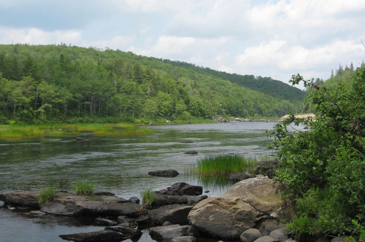
The St. Mary's River is a Canadian river. At approximately 250 kilometres (160 mi), it is one of Nova Scotia's longest rivers. It runs through Guysborough County, Antigonish County, Halifax Regional Municipality, Colchester County and Pictou County of Nova Scotia and drains into the Atlantic Ocean at Sonora, Nova Scotia. The river drains an area approximately of 1,350 square kilometres (520 sq mi) and has four branches; the West, East, North and Main. It offers important Atlantic salmon habitat and the riverbanks are a habitat for the wood turtle.
Map of St Marys River, Nova Scotia, Canada
There are an estimated 130 lakes in the St. Mary's watershed, ranging in size from less than 5 hectares (12 acres) to 3 square kilometres (1.2 sq mi) (Lochaber Lake). The largest lakes, all on the East and North branches, are the Lochaber, Lochiel, Eden and Archibald’s Mills Lakes.
Named Rivère Isle Verte by Champlain, the current name is from Fort Saint Marie, a French-built fort which was later taken over and destroyed by the British. There was also a Fort Saint Charles on the river nearby; both were 17th century forts. Atlantic salmon, an endangered species, inhabit the river. There are efforts under way by the Nova Scotia Nature Trust to protect ecologically important lands along the river.