
Country United States County Hand Time zone CST (UTC-6) Elevation 478 m Population 196 (2013) | Settled 1881 Area code(s) 605 Zip code 57373 Local time Friday 6:09 PM | |
 | ||
Weather 8°C, Wind NE at 19 km/h, 59% Humidity | ||
St. Lawrence is a town in Hand County, South Dakota, United States. The population was 198 at the 2010 census.
Contents
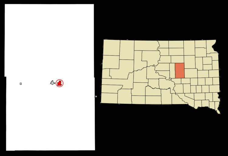
Map of St Lawrence, SD, USA
History
The first settlement at St. Lawrence was made in 1881. A post office called St. Lawrence has been in operation since 1882. The town was named after the Saint Lawrence River.
Geography
St. Lawrence is located at 44°31′1″N 98°56′20″W (44.516955, -98.939025).
According to the United States Census Bureau, the town has a total area of 0.34 square miles (0.88 km2), all of it land.
St. Lawrence has been assigned the ZIP code 57373 and the FIPS place code 57180.
2010 census
As of the census of 2010, there were 198 people, 74 households, and 53 families residing in the town. The population density was 582.4 inhabitants per square mile (224.9/km2). There were 90 housing units at an average density of 264.7 per square mile (102.2/km2). The racial makeup of the town was 99.0% White, 0.5% Native American, and 0.5% from two or more races.
There were 74 households of which 29.7% had children under the age of 18 living with them, 52.7% were married couples living together, 9.5% had a female householder with no husband present, 9.5% had a male householder with no wife present, and 28.4% were non-families. 18.9% of all households were made up of individuals and 12.2% had someone living alone who was 65 years of age or older. The average household size was 2.68 and the average family size was 2.96.
The median age in the town was 42.6 years. 23.2% of residents were under the age of 18; 8.2% were between the ages of 18 and 24; 22.8% were from 25 to 44; 25.4% were from 45 to 64; and 20.7% were 65 years of age or older. The gender makeup of the town was 52.5% male and 47.5% female.
2000 census
As of the census of 2000, there were 210 people, 90 households, and 63 families residing in the town. The population density was 137.5 people per square mile (53.0/km²). There were 104 housing units at an average density of 68.1 per square mile (26.2/km²). The racial makeup of the town was 98.57% White, and 1.43% from two or more races. Hispanic or Latino of any race were 1.43% of the population.
There were 90 households out of which 28.9% had children under the age of 18 living with them, 58.9% were married couples living together, 10.0% had a female householder with no husband present, and 28.9% were non-families. 25.6% of all households were made up of individuals and 18.9% had someone living alone who was 65 years of age or older. The average household size was 2.33 and the average family size was 2.80.
In the town, the population was spread out with 22.4% under the age of 18, 7.6% from 18 to 24, 21.9% from 25 to 44, 22.9% from 45 to 64, and 25.2% who were 65 years of age or older. The median age was 44 years. For every 100 females there were 89.2 males. For every 100 females age 18 and over, there were 87.4 males.
The median income for a household in the town was $32,031, and the median income for a family was $34,583. Males had a median income of $20,357 versus $14,464 for females. The per capita income for the town was $13,300. About 9.0% of families and 13.1% of the population were below the poverty line, including 23.2% of those under the age of eighteen and 4.5% of those sixty five or over.