
Max. length 3 km (1.9 mi) Surface elevation 60 m Catchment area 22.56 km² | Primary inflows Basin countries Ireland Surface area 1.46 km (0.56 sq mi) Area 146 ha Province Connacht | |
 | ||
St. John's Lough (Irish: Loch Eoin), also known as St. John's Lake, is a irregularly shaped freshwater lake located in south County Leitrim, in northwest of Ireland. The lake forms part of the wider Shannon–Erne Waterway tourist attraction. The ecology of John's Lough, and the Shannon-system, is threatened by pollution and invasive species such as curly waterweed, zebra mussel, and freshwater clam.
Contents
- Map of St Johns Lough Co Leitrim Ireland
- EtymologyEdit
- GeographyEdit
- EcologyEdit
- Illegal dumpingEdit
- Ancient Lake dwellersEdit
- Museum artefactsEdit
- Ancient churchEdit
- Human settlementsEdit
- References
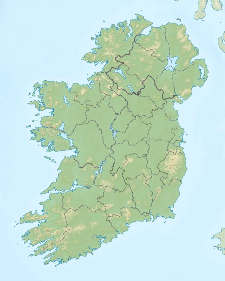
Map of St John's Lough, Co. Leitrim, Ireland
EtymologyEdit
Named after Irish: Eóin Baiste, meaning "John the Baptist", the lake is therefore named "the lake of John".
GeographyEdit
St. John's Lough is a shallow freshwater lake 4 kilometres (2.5 mi) west of Ballinamore, covering a surface area somewhere between 1.46 km2 (0.6 sq mi) and 1.89 km2 (0.7 sq mi). Saint John's Lough extends from Ballyduff Bridge in the north-east, before dividing into three broad reaches separated by narrow passes, or straits. The "Derrymacoffin Pass" connects the Ballinamore canal and northern lake portion to the central John's lough, and the "Muckross Pass" connects the central lough to the southern lough. The catchment area comprises Forestry (2%), pasture (55%), and other agriculture (43%), according ot CORINE data. The R208 regional road follows the lakes northern boundary, crossing the Ballinamore canal at Ballyduff Bridge.
EcologyEdit
Fish present in John's Lough include "roach-bream hybrids", Roach, Perch, Bream (1-2lbs), and Pike. The pike population is the "native Irish strain" (Irish: liús meaning 'Irish Pike') not the other European Pike strain (Irish: gailliasc meaning 'strange or foreign fish'). The water quality was reported to be satisfactory c. 2001 – c. 2003 with a mesotrophic rating.
Illegal dumpingEdit
Repeated instances of significant illegal dumping and littering has been reported in recent years.
Ancient Lake dwellersEdit
Four ancient crannogs were reported at St. John's Lough. The crannogs were probably occupied during at least the 13th or the early 14th century, and lands surrounding John's Lough were covered by woodland during the Middle Ages.
Museum artefactsEdit
The following archaeological artefacts were recovered at Saint John's Lough in the 19th century, c. 1843 – c. 1852, and now preserved at the Royal Irish Academy museum, or at the National Museum of Ireland-
Ancient churchEdit
According to the Annals of the Four Masters an ancient church standing on the northern shore of Saint John's Lough (nearby where the Yellow River ["An Gheirgthigh"] enters the Lough at Irish: Tuaim Luascáin, meaning "Tomloskan") was destroyed in 1244AD.
Human settlementsEdit
The primary human settlements around St John's lough is Fenagh village and Ballinamore town.