
Country United States County Kane Time zone CST (UTC-6) Area 92.07 km² Population 50,854 (2010) | State Illinois Established November 6, 1849 Elevation 222 m Local time Friday 10:18 AM | |
 | ||
ZIP codes 60119, 60120, 60134, 60174, 60175, 60177, 60184 Weather 5°C, Wind N at 29 km/h, 84% Humidity Points of interest Hotel Baker, Pottawatomie Park, LeRoy Oakes Forest Pr, Fox River Bluff west, Mount Saint Mary Park | ||
St. Charles Township is one of sixteen townships in Kane County, Illinois, USA. As of the 2010 census, its population was 50,854 and it contained 19,043 housing units.
Contents
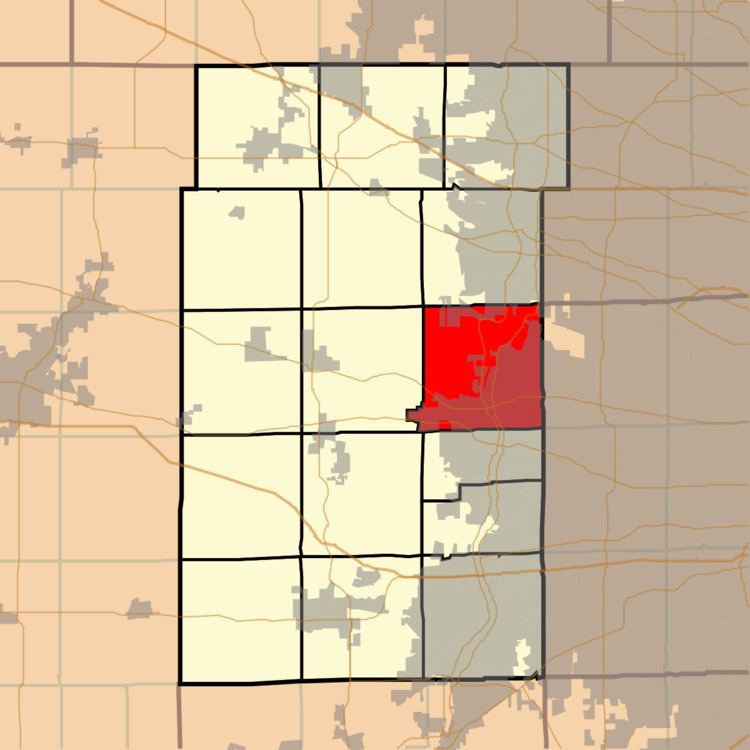
- Map of St Charles Township IL USA
- Geography
- Cities towns villages
- School districts
- Political districts
- Notanle people
- References
Map of St Charles Township, IL, USA
Geography
According to the 2010 census, the township has a total area of 35.55 square miles (92.1 km2), of which 34.82 square miles (90.2 km2) (or 97.95%) is land and 0.74 square miles (1.9 km2) (or 2.08%) is water. It is divided by the Fox River.
Cities, towns, villages
School districts
Political districts
Notanle people
References
St. Charles Township, Kane County, Illinois Wikipedia(Text) CC BY-SA