
Time zone CST (UTC-6) Area 93.58 km² Population 377 (2010) | Established November 6, 1849 Elevation 203 m Local time Friday 7:36 AM | |
 | ||
ZIP codes 62313, 62349, 62373, 62379, 62380 Weather 4°C, Wind N at 19 km/h, 95% Humidity | ||
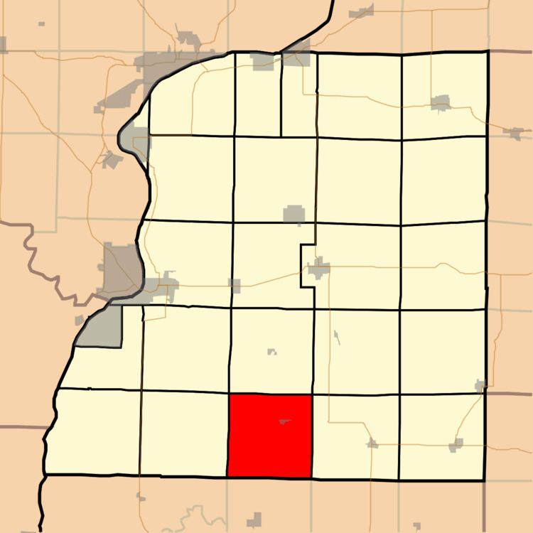
Saint Albans Township is one of twenty-five townships in Hancock County, Illinois, USA. As of the 2010 census, its population was 377 and it contained 169 housing units.
Contents
- Map of St Albans Township IL USA
- Geography
- Cities towns villages
- Landmarks
- School districts
- Political districts
- References
Map of St Albans Township, IL, USA
Geography
According to the 2010 census, the township has a total area of 36.13 square miles (93.6 km2), of which 35.99 square miles (93.2 km2) (or 99.61%) is land and 0.13 square miles (0.34 km2) (or 0.36%) is water.
Cities, towns, villages
Landmarks
School districts
Political districts
References
St. Albans Township, Hancock County, Illinois Wikipedia(Text) CC BY-SA