
Population 7,042 (2011.Ward) Region South East Sovereign state United Kingdom Local time Friday 12:09 PM District Thanet UK parliament constituency South Thanet | OS grid reference TR381684 Country England Post town BROADSTAIRS Shire county Kent Dialling code 01843 | |
 | ||
Weather 16°C, Wind SW at 24 km/h, 70% Humidity Civil parish Broadstairs and St Peter's | ||
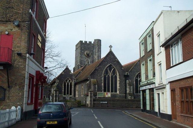
St Peters ("scī Petr'" [1254], "scī Petri" [1270], "Sti Petri in Insula de Thaneto", "St. Peters" [1610]) is an area of Broadstairs, a town on the Isle of Thanet in Kent. Historically a village, it was outgrown by the long-dominant settlement of the two, Broadstairs, after 1841. Originally the borough or manor of the church of St. Peter-in-Thanet (the second daughter church of Minster, established 1070, although the first written record of its present name is 1124), it was said to be the largest parish east of London, at least until Broadstairs became a separate parish on 27 September 1850. The two settlements were formally merged administratively in 1895.
Contents
Map of St Peters, Broadstairs, UK
Demography
At the 2001 UK census, the St Peters electoral ward had a population of 6,761. The ethnicity was 97.8% white, 0.7% mixed race, 1.2% Asian, 0.2% black and 0.1% other. The place of birth of residents was 95.7% United Kingdom, 0.7% Republic of Ireland, 0.9% other Western European countries, and 2.7% elsewhere. Religion was recorded as 75.7% Christian, 0.5% Buddhist, 0.3% Hindu, 0% Sikh, 0.1% Jewish, and 0.3% Muslim. 14% were recorded as having no religion, 0.4% had an alternative religion and 8.6% did not state their religion.
The economic activity of residents aged 16–74 was 38% in full-time employment, 13.6% in part-time employment, 9% self-employed, 2.8% unemployed, 2.2% students with jobs, 3.9% students without jobs, 19.2% retired, 5.7% looking after home or family, 3.3% permanently sick or disabled and 2.3% economically inactive for other reasons. The industry of employment of residents was 16.1% retail, 14.9% manufacturing, 7.2% construction, 9.3% real estate, 13.2% health and social work, 12.1% education, 7.3% transport and communications, 5.5% public administration, 4.7% hotels and restaurants, 2.5% finance, 1% agriculture and 6.2% other. Compared with national figures, the ward had a relatively high proportion of workers in education and health and social work. There were a relatively low proportion in agriculture, real estate and finance. Of the ward's residents aged 16–74, 15.5% had a higher education qualification or the equivalent, compared with 19.9% nationwide.