
OS grid reference SD462414 Post town PRESTON District Wyre | Sovereign state United Kingdom Postcode district PR3 Local time Friday 10:02 AM Dialling code 01995 | |
 | ||
Weather 13°C, Wind SW at 32 km/h, 85% Humidity Civil parish Upper Rawcliffe-with-Tarnacre | ||
St Michael's on Wyre is a village on the Fylde, in the Borough of Wyre, in Lancashire, England; it lies on the River Wyre. The village is centred on the church of St Michael's which was founded before AD 640. It is in the civil parish of Upper Rawcliffe with Tarnacre, which had a population in 2001 of 604. For later counts see the Civil parish.
Contents
Map of St Michael's on Wyre, Preston, UK
History
In 1835 the parish of St Michael's contained the townships of Out Rawcliffe, Upper Rawcliffe, Elswick, Great Eccleston, Inskip-with-Sowerby, Newsham and Woodplumpton.
In 1984, 16 people were killed in the Abbeystead disaster, during a visit by a party from St Michael's to a waterworks 10 miles up the River Wyre.
Today
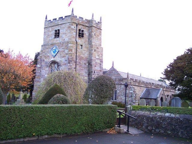
The village has its own pub, car garage, village hall and nearby Myerscough College. The parish church of St Michael is the village's most prominent landmark. The nave and chancel date from the 14th century, and the tower from the 16th. It is one of only two Grade I listed buildings in the Borough of Wyre.
Location
St Michael's on Wyre is situated between Lancaster, Preston and Blackpool.