
OS grid reference SU115034 Post town RINGWOOD Local time Friday 6:30 AM | Sovereign state United Kingdom Postcode district BH24 Dialling code 01425 | |
 | ||
Weather 12°C, Wind SW at 14 km/h, 88% Humidity | ||
St Leonards is a village in south east Dorset, England, situated on the A31 road in the north of the Bournemouth-Poole urban area, adjacent to St Ives and Ashley Heath. The St Leonards and St Ives civil parish had a population of 6,672 in 2001.
Map of St Leonards, UK
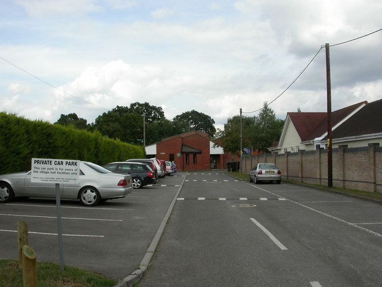
For the youth there is a youth club for ages 10–18 on a Monday and Wednesday, situated in Braeside Park near the village hall and by the scout hut.
References
St Leonards, Dorset Wikipedia(Text) CC BY-SA