
OS grid reference SM899061 Country Wales Postcode district SA62 Local time Friday 4:02 AM Ceremonial county Dyfed UK parliament constituency Preseli Pembrokeshire | Principal area Pembrokeshire Sovereign state United Kingdom Police Dyfed-Powys Dialling code 01646 Post town Haverfordwest | |
 | ||
Weather 11°C, Wind S at 31 km/h, 97% Humidity | ||
St Ishmaels or St. Ishmael's (Welsh: Llanismel) is a village, parish and community close to the harbour of Milford Haven in Pembrokeshire, Wales. The community comprises most of the parish of St Ishmaels and had a population of 490 at the 2001 census. The ward includes the communities of Herbrandston, Dale and Marloes and St. Brides. The community was subsequently merged with other communities and only the ward remained with the name St Ishmael's. This covers the entire peninsula with at total population at the 2011 census of 1,405.
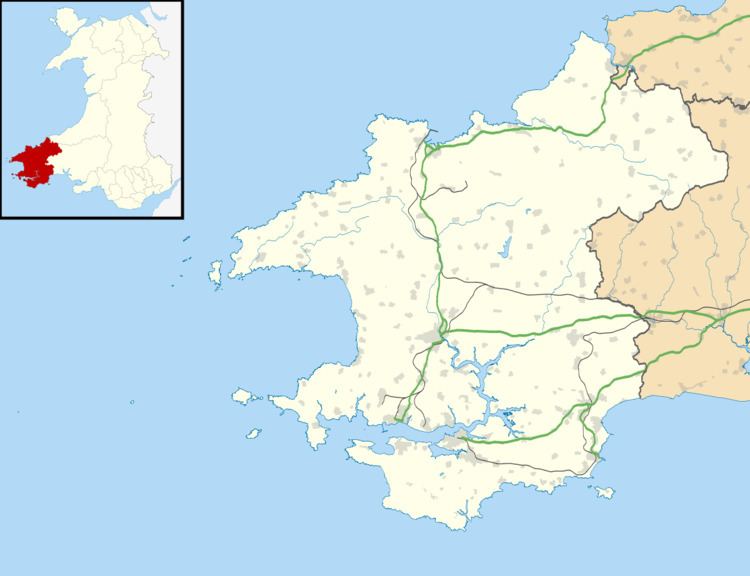
Map of St Ishmael's, Haverfordwest, UK
The parish church of the local Saint Ismael is outside the village, hidden in a small valley near the Haven. In the Age of the Saints, it may have been the seat of the bishop of the cantref of Rhos. As Llanismael, it was considered one of the principal dioceses of Dyfed under medieval Welsh law, second only to Menevia (modern St Davids). With the Norman conquest, St Ishmaels became part of the Lordship of Haverfordwest. The church is a grade II listed building
The south, west and east of the parish is bordered by the Milford Haven estuary with numerous important bird and marine life within the Pembrokeshire Coast Path. The north boundary is mainly farmland used for both grazing and arable. Prince Charles's first footsteps on Welsh soil were at Lindsway Bay, to the south of the village with the royal yacht anchored off the beach.