
Length 98 km Mouth Payette River | Source elevation 2,281 m Country United States of America | |
 | ||
- location southwest of Cascade, Valley County, Idaho - location Black Canyon Reservoir, Gem County, Idaho | ||
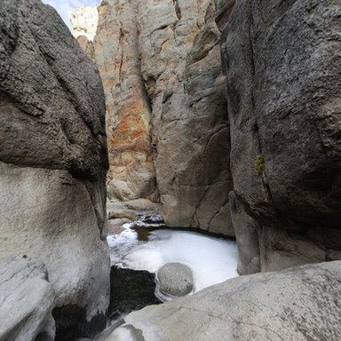
Squaw Creek is a 61-mile (98 km) long tributary of the Payette River in the U.S. state of Idaho. Beginning at an elevation of 7,483 feet (2,281 m) southwest of Cascade in southwestern Valley County, it quickly flows north and then west into Gem County. From there, it flows generally south, passing through the communities of Ola and Sweet, before reaching its mouth at Black Canyon Reservoir, at an elevation of 2,507 feet (764.1 m).
Map of Squaw Creek, Idaho, USA
References
Squaw Creek (Payette River) Wikipedia(Text) CC BY-SA