
Time zone Eastern (EST) (UTC-5) Elevation 13 m | GNIS feature ID 880830 Local time Thursday 12:01 PM | |
 | ||
Weather 8°C, Wind N at 8 km/h, 40% Humidity | ||
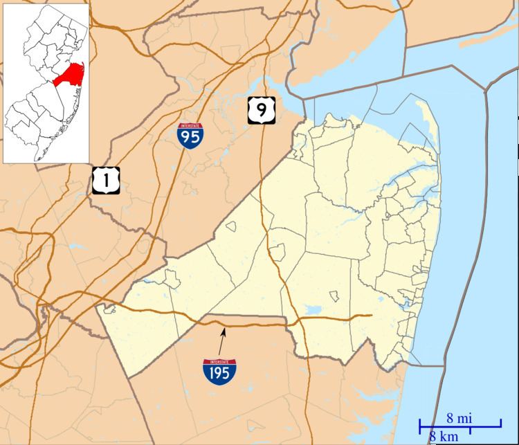
Squankum (Lenape for "place where evil spirits dwell") is an unincorporated community located within Howell Township in Monmouth County, New Jersey, United States. The name Squankum was used for a town in Gloucester County, which was changed to present day Williamstown (see note above), due to postal regulations that prohibited the two towns from having the same name.
Contents
Map of Squankum, NJ 07727, USA
Description
Located within Howell Township, Squankum is near Allaire State Park. Major county roads in Squankum include 524 and 547. Interstate 195 provides access to Squankum, along with its neighboring town, Farmingdale, via exit 31B.
References
Squankum, New Jersey Wikipedia(Text) CC BY-SA