
Quadrant SW Established 1950 Area 60 ha Population 2,827 (2006) | Ward 8 Annexed 1910 Elevation 1,125 m Local time Thursday 7:39 AM Mayor Naheed Nenshi | |
 | ||
Weather 3°C, Wind W at 13 km/h, 65% Humidity | ||
2604 77 spruce place spruce cliff calgary akbar nimji re max professionals
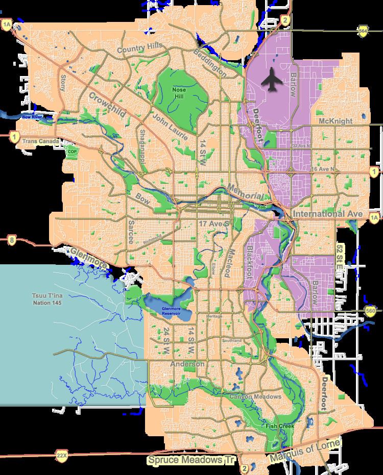
Spruce Cliff is a residential neighbourhood in the south-west quadrant of Calgary, Alberta. It is bounded to the north by the CPR tracks and the Bow River, to the east by the Shaganappi golf course and 33 Street W, to the south by Bow Trail and to the west by 37 Street W.
Contents
- 2604 77 spruce place spruce cliff calgary akbar nimji re max professionals
- Map of Spruce Cliff Calgary AB Canada
- Demographics
- Education
- References
Map of Spruce Cliff, Calgary, AB, Canada
The land was annexed in 1910, and Spruce Cliff was established in 1950. It is represented in the Calgary City Council by the Ward 8 councillor.
Demographics
In the City of Calgary's 2012 municipal census, Spruce Cliff had a population of 7003428500000000000♠4,285 living in 7003234400000000000♠2,344 dwellings, a 7.3% increase from its 2011 population of 7003399200000000000♠3,992. With a land area of 1.1 km2 (0.42 sq mi), it had a population density of 3,900/km2 (10,100/sq mi) in 2012.
Residents in this community had a median household income of $42,025 in 2000, and there were 31.8% low income residents living in the neighbourhood. As of 2000, 28% of the residents were immigrants. A proportion of 53.8% of the buildings were condominiums or apartments, and 65.1% of the housing was used for renting.
Education
The community is served by Spruce Cliff Elementary public school.