
FIPS code 19-74775 Elevation 254 m Zip code 52336 Local time Thursday 8:00 AM | Time zone Central (CST) (UTC-6) GNIS feature ID 0461923 Area 186 ha Population 1,107 (2013) Area code 319 | |
 | ||
Weather 5°C, Wind NE at 23 km/h, 97% Humidity | ||
Springville is a city in Linn County, Iowa, United States. The population was 1,074 at the 2010 census. It is part of the Cedar Rapids Metropolitan Statistical Area.
Contents
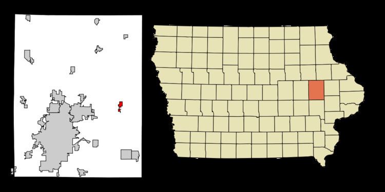
Map of Springville, IA 52336, USA
History
Springville was laid out about 1855.
Geography
Springville is located at 42°3′25″N 91°26′39″W (42.057062, -91.444228).
According to the United States Census Bureau, the city has a total area of 0.72 square miles (1.86 km2), all of it land.
2010 census
As of the census of 2010, there were 1,074 people, 442 households, and 313 families residing in the city. The population density was 1,491.7 inhabitants per square mile (575.9/km2). There were 462 housing units at an average density of 641.7 per square mile (247.8/km2). The racial makeup of the city was 98.9% White, 0.1% African American, 0.1% Native American, 0.2% Asian, and 0.7% from two or more races. Hispanic or Latino of any race were 0.3% of the population.
There were 442 households of which 30.5% had children under the age of 18 living with them, 59.3% were married couples living together, 8.8% had a female householder with no husband present, 2.7% had a male householder with no wife present, and 29.2% were non-families. 23.1% of all households were made up of individuals and 10.7% had someone living alone who was 65 years of age or older. The average household size was 2.43 and the average family size was 2.86.
The median age in the city was 39.3 years. 22% of residents were under the age of 18; 7.9% were between the ages of 18 and 24; 28.3% were from 25 to 44; 27% were from 45 to 64; and 14.9% were 65 years of age or older. The gender makeup of the city was 48.9% male and 51.1% female.
2000 census
As of the census of 2000, there were 1,091 people, 429 households, and 293 families residing in the city. The population density was 1,467.7 people per square mile (569.2/km²). There were 444 housing units at an average density of 597.3 per square mile (231.7/km²). The racial makeup of the city was 98.44% White, 0.09% Native American, 0.64% Asian, 0.27% from other races, and 0.55% from two or more races. Hispanic or Latino of any race were 0.55% of the population.
There were 429 households out of which 35.9% had children under the age of 18 living with them, 58.3% were married couples living together, 7.7% had a female householder with no husband present, and 31.5% were non-families. 27.3% of all households were made up of individuals and 13.3% had someone living alone who was 65 years of age or older. The average household size was 2.54 and the average family size was 3.08.
28.0% are under the age of 18, 8.5% from 18 to 24, 28.6% from 25 to 44, 23.7% from 45 to 64, and 11.2% who were 65 years of age or older. The median age was 36 years. For every 100 females there were 91.7 males. For every 100 females age 18 and over, there were 90.8 males.
The median income for a household in the city was $44,567, and the median income for a family was $53,088. Males had a median income of $33,000 versus $25,129 for females. The per capita income for the city was $18,429. About 2.7% of families and 5.1% of the population were below the poverty line, including 2.1% of those under age 18 and 15.6% of those age 65 or over.