
Country United States County Tulare ZIP codes 93208, 93265 Elevation 312 m Population 934 (2010) | Time zone Pacific (PST) (UTC-8) FIPS code 06-73710 Area 10.88 km² Area code Area code 559 | |
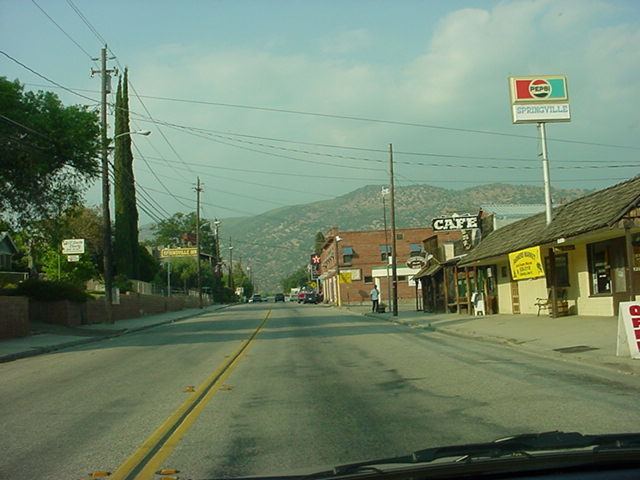 | ||
Springville california feb 2015 trip
Springville is a census-designated place (CDP) in Tulare County, California, United States. The population was 934 at the 2010 census, down from 1,109 at the 2000 census.
Contents
- Springville california feb 2015 trip
- Map of Springville CA 93265 USA
- Geography
- Climate
- 2010
- 2000
- Politics
- Natural history
- References
Map of Springville, CA 93265, USA
Geography
Springville is located at 36°7′42″N 118°49′8″W (36.128378, -118.819001).
According to the United States Census Bureau, the CDP has a total area of 4.2 square miles (11 km2), of which, 4.2 square miles (11 km2) of it is land and 0.02 square miles (0.052 km2) of it (0.41%) is water.
Climate
This region experiences warm and dry summers, during which the temperature can reach up to 100 F. According to the Köppen Climate Classification system, Springville has a warm-summer Mediterranean climate, abbreviated "Csb" on climate maps.
2010
The 2010 United States Census reported that Springville had a population of 934. The population density was 222.4 people per square mile (85.9/km²). The racial makeup of Springville was 836 (89.5%) White, 5 (0.5%) African American, 20 (2.1%) Native American, 7 (0.7%) Asian, 0 (0.0%) Pacific Islander, 25 (2.7%) from other races, and 41 (4.4%) from two or more races. Hispanic or Latino of any race were 109 persons (11.7%).
The Census reported that 934 people (100% of the population) lived in households, 0 (0%) lived in non-institutionalized group quarters, and 0 (0%) were institutionalized.
There were 427 households, out of which 96 (22.5%) had children under the age of 18 living in them, 181 (42.4%) were opposite-sex married couples living together, 39 (9.1%) had a female householder with no husband present, 21 (4.9%) had a male householder with no wife present. There were 17 (4.0%) unmarried opposite-sex partnerships, and 4 (0.9%) same-sex married couples or partnerships. 156 households (36.5%) were made up of individuals and 53 (12.4%) had someone living alone who was 65 years of age or older. The average household size was 2.19. There were 241 families (56.4% of all households); the average family size was 2.85.
The population was spread out with 173 people (18.5%) under the age of 18, 62 people (6.6%) aged 18 to 24, 161 people (17.2%) aged 25 to 44, 343 people (36.7%) aged 45 to 64, and 195 people (20.9%) who were 65 years of age or older. The median age was 50.3 years. For every 100 females there were 95.0 males. For every 100 females age 18 and over, there were 87.4 males.
There were 516 housing units at an average density of 122.9 per square mile (47.4/km²), of which 264 (61.8%) were owner-occupied, and 163 (38.2%) were occupied by renters. The homeowner vacancy rate was 3.3%; the rental vacancy rate was 15.1%. 581 people (62.2% of the population) lived in owner-occupied housing units and 353 people (37.8%) lived in rental housing units.
2000
As of the census of 2000, there were 1,109 people, 544 households, and 283 families residing in the CDP. The population density was 265.8 people per square mile (102.7/km²). There were 613 housing units at an average density of 146.9 per square mile (56.8/km²). The racial makeup of the CDP was 94.14% White, 0.09% African American, 0.54% Native American, 0.27% Asian, 1.80% from other races, and 3.16% from two or more races. Hispanic or Latino of any race were 5.59% of the population.
There were 544 households out of which 22.2% had children under the age of 18 living with them, 38.6% were married couples living together, 10.3% had a female householder with no husband present, and 47.8% were non-families. 41.9% of all households were made up of individuals and 22.2% had someone living alone who was 65 years of age or older. The average household size was 2.04 and the average family size was 2.80.
In the CDP, the population was spread out with 21.6% under the age of 18, 3.6% from 18 to 24, 22.8% from 25 to 44, 28.6% from 45 to 64, and 23.4% who were 65 years of age or older. The median age was 46 years. For every 100 females there were 90.2 males. For every 100 females age 18 and over, there were 83.3 males.
The median income for a household in the CDP was $24,271, and the median income for a family was $35,000. Males had a median income of $34,375 versus $31,406 for females. The per capita income for the CDP was $19,695. About 21.6% of families and 25.7% of the population were below the poverty line, including 42.5% of those under age 18 and 10.7% of those age 65 or over.
Politics
In the state legislature Springville is located in the 18th Senate District, represented by Republican Roy Ashburn, and in the 34th Assembly District, represented by Republican Connie Conway.
In the United States House of Representatives, Springville is in California's 23rd congressional district, represented by Republican Kevin McCarthy
Natural history
The rare wildflower Clarkia springvillensis was discovered near and named after Springville in 1964.