
Airport type Public Elevation AMSL 1,051 ft / 320 m Code SGH Phone +1 937-325-6108 | Owner City of Springfield 6/24 9,009 Elevation 320 m Serves Springfield | |
 | ||
Location Green Township, Clark County, near Springfield, Ohio Website www.airparkohio.com/... Address 1251 W Blee Rd, Springfield, OH 45502, USA Similar Ohio Army National Guard, National Guard Recruitin, US Air National Guard, Wright‑Pa AFB | ||
Springfield–Beckley Municipal Airport (IATA: SGH, ICAO: KSGH, FAA LID: SGH) is a joint use civil-military airport located five miles (8 km) south of the central business district of Springfield, a city in Clark County, Ohio, United States. It is owned by the city of Springfield.
Three units of the Ohio Air National Guard, including the 178th Fighter Wing are based at the co-located Springfield Air National Guard Base.
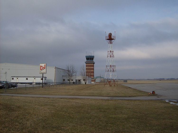
Facilities and Aircraft
Springfield–Beckley Municipal Airport covers an area of 1,516 acres (614 ha) which contains two runways:
For the 12-month period ending November 29, 2005, the airport had 62,000 aircraft operations, an average of 169 per day: 75% general aviation, 21% military and 4% air taxi. There are 81 aircraft based at this airport: 59% single-engine, 14% multi-engine, 1% jet, 1% ultralight and 25% military.