
Elevation 208 m Local time Thursday 5:46 AM | GNIS feature ID 0468744 Area 93.89 km² Population 1,142 (2000) | |
 | ||
Weather 6°C, Wind E at 24 km/h, 95% Humidity | ||
Spring Rock Township is a township in Clinton County, Iowa, USA. As of the 2000 census, its population was 1,142.
Contents
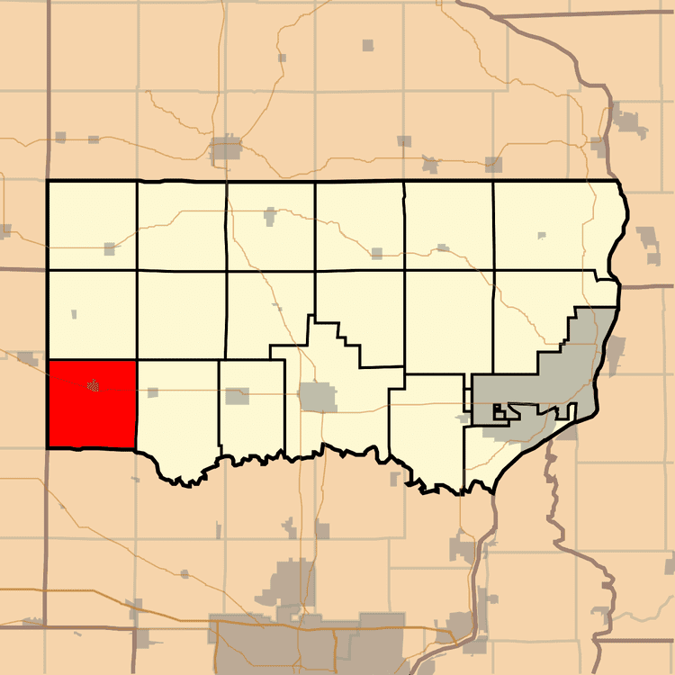
Map of Spring Rock, IA, USA
History
Spring Rock Township was organized in 1844. The township takes its name from a huge rock at found at a spring in Scott County.
Geography
Spring Rock Township covers an area of 36.25 square miles (93.9 km2) and contains one incorporated settlement, Wheatland, along with some unincorporated settlements such as Big Rock. According to the USGS, it contains four cemeteries: Homigrahusen, Pine Hill, Rose Hill and Saint Pauls.
The streams of Calamus Creek, Lizard Creek, Rock Creek and Yankee Run run through this township.
References
Spring Rock Township, Clinton County, Iowa Wikipedia(Text) CC BY-SA