
Country United States Elevation 249 m | Time zone Central (CST) (UTC-6) Local time Thursday 5:01 AM | |
 | ||
Weather 12°C, Wind S at 14 km/h, 99% Humidity | ||
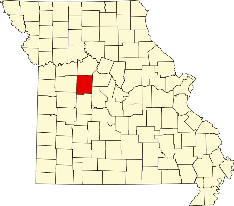
Spring Fork is an unincorporated community in Pettis County, Missouri, United States. Its altitude is 902 feet (275 m), and it is located at about 38°34′43″N 93°14′19″W (38.5786297, -93.2385387).
Map of Spring Fork, MO 65301, USA
A post office called Springfork was established in 1906, and remained in operation until 1925. The community takes its name from Spring Fork creek.
References
Spring Fork, Missouri Wikipedia(Text) CC BY-SA