
Local time Wednesday 7:50 PM | ||
 | ||
Weather 2°C, Wind E at 10 km/h, 59% Humidity | ||
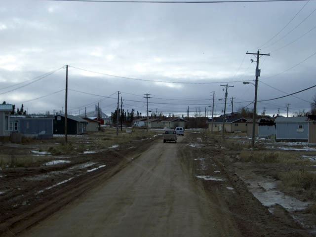
Split Lake is a community in Manitoba on the north shore of Split Lake (Manitoba) on the Nelson River about 150 miles west southwest of the river's mouth at Hudson Bay and is within Split Lake 171, a reserve of the Tataskweyak Cree Nation.
Contents
Map of Split Lake, MB, Canada
It is located 169 kilometers (105 mi) west of Gillam, Manitoba and 143 kilometers (89 mi) northeast of Thompson on Provincial Road 280 in Manitoba's far north. It is considered the half-way point on the dangerous winter drive on MB 280. 1st lady chief Doreen spence (2017)
Profile
Split Lake is on the Hudson Bay Railway line that ends at the Port of Churchill. Grey Goose Bus Lines and other companies such as Arctic Beverages and Old Dutch Foods provides the community with freight and goods on a daily basis.
The community also has an annual ice fishing derby, where the first prize is usually a vehicle, as sometimes it has cash prizes, as well as a sporting event every year which is called "indian days".
In 1908 Tataskweyak Cree Nation (Split Lake Band) signed an adhesion to Treaty 5.
Geography
The community of Split Lake is located on a peninsula on the northern shore of Split Lake. The Burntwood River and the Nelson River flows into the west end of Split Lake. The Grass River (Manitoba) joins the Nelson just before it enters the lake. The Nelson flows east out from the east end of the lake.
Demographics
Split Lake 171 had a population of 2,107 in the 2011 Canada Census an increase of 15.8% from the 2006 Census.