
 | ||
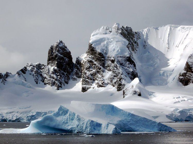
Spigot Peak (64°38′S 62°34′W) is a conspicuous black peak 285 m, marking the south side of the entrance to Orne Harbour on the west coast of Graham Land. Shown on an Argentine government chart of 1950. The name, given by the United Kingdom Antarctic Place-Names Committee (UK-APC) in 1956, is descriptive of the appearance of the feature; a spigot is a wooden peg.
Map of Spigot Peak, Antarctica
This article incorporates public domain material from the United States Geological Survey document "Spigot Peak" (content from the Geographic Names Information System).
References
Spigot Peak Wikipedia(Text) CC BY-SA