
Country United States County Van Buren Incorporated 1909 Elevation 548 m Zip code 38585 Population 1,613 (2013) | State Tennessee Founded 1850 Time zone Central (CST) (UTC-6) Area 17.6 km² Local time Wednesday 7:16 AM Area code 931 | |
 | ||
Weather 8°C, Wind NE at 6 km/h, 91% Humidity | ||
Spencer is a town in Van Buren County, Tennessee, United States. The population was 1,601 as of the 2010 census. It is the county seat of Van Buren County.
Contents
Map of Spencer, TN 38585, USA
History
Spencer is named after Thomas Sharp Spencer (d. 1794), a long hunter who passed through the Van Buren County area in the mid-18th century. The town was established in 1850 and incorporated in 1909.
Burritt College was located in Spencer from 1848 until its closure in 1939. In July 1946, James Monroe Smith, former president of Louisiana State University in Baton Rouge, Louisiana, accepted the position as head of academic studies at Burritt Preparatory School for Boys, a down-graded version of Burritt College.
Geography
Spencer is located at 35°44′37″N 85°27′30″W (35.743740, -85.458408). The town is situated at the western edge of the Cumberland Plateau, just above the Caney Fork valley. The river forms Van Buren's boundary with White County several miles north of Spencer.
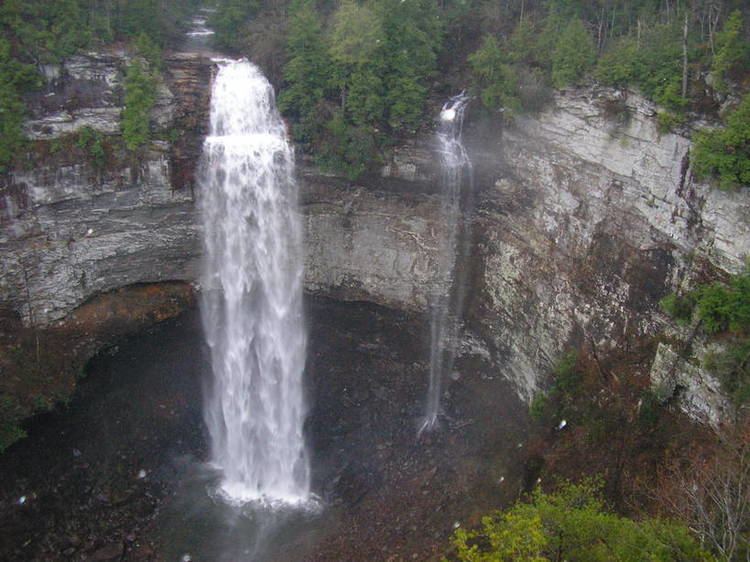
Spencer is topographically isolated by the Cumberland Plateau's escarpment to the north and west, the Cane Creek Valley to the east, and the Dry Fork Gulf to the south. Cane Creek, along with its tributary, Dry Fork, slices a narrow valley as it spills down northward toward its confluence with the Caney Fork, effectively dividing the Spencer area from the rest of the plateau. Cane Creek's upper watershed, known for its scenic waterfalls and geological formations, comprises the bulk of Fall Creek Falls State Park.
Spencer is concentrated along State Route 30, which connects Spencer with Pikeville in the Sequatchie Valley to the east, and McMinnville to the west. State Route 111, which traverses the eastern part of Spencer, connects the town with Sparta and Cookeville to the north, and Dunlap in the Sequatchie Valley to the south. Spencer is approximately 30 miles south of Cookeville and 25 miles west of Pikeville.
According to the United States Census Bureau, the town has a total area of 6.8 square miles (18 km2), all land.
Demographics
As of the census of 2010, there were 1,601 people residing in 632 households, with an average household size of 2.35. The racial makeup of the town was 97.2% White, 1.0% African American, 0.2% Native American, 0.2% Asian, and 1.4% from two or more races. Hispanic or Latino of any race were 0.6% of the population.
Within the 632 households, 29.0% had children under the age of 18 living with them, 47.8% were married couples living together, 14.1% had a female householder with no husband present, and 33.7% were non-families. 30.1% of all households were made up of individuals and 32.1% had someone who was 65 years of age or older.
The town's population age spread was: 23.0% up to the age of 19, 10.4% from 20 to 29, 12.1% from 30 to 39, 11.7% from 40 to 49, 16.5% from 50 to 59, 14.7% from 60 to 99, and 11.6% who were 70 years of age or older. The median age was 43.4 years. Women comprise 51.2% of the population.
The median income for a household in the town was estimated at $19,033, while the per capita income was $13,555. 34.3% of the population was estimated to be below the poverty line. No data was available as to health insurance coverage.