
Surface elevation ~ 1,200 ft (370 m) Catchment area 5.423 km² | Basin countries United Kingdom Islands none Province Ulster | |
 | ||
Water volume 600×10^ imp gal (2,700,000 m) Similar Silent Valley Reservoir, Mourne Mountains, Slieve Binnian, Slieve Muck, Slieve Donard | ||
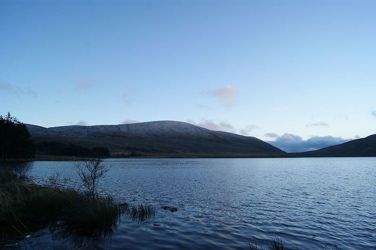
Spelga Reservoir is a reservoir in the townland of Spelga (Irish: Speilgeach) in the Mourne Mountains of County Down, Northern Ireland. It was formed by the Spelga Dam and sits at over 1,200 ft (370 m) above sea level.
Map of Spelga Reservoir, Newry, UK
The reservoir and dam were built as part of a project that had origins in the idea of supplying water to Belfast, in 1894. The Spelga Reservoir itself was developed between 1953 and 1957. The Dam was designed by the Belfast engineering firm of R. Ferguson and S. McIlveen and construction was undertaken by John Laing & Sons. Building started in 1953, and ran into problems. As they poured the foundations on the bedrock they found that the dam was sinking, it was found that it was as much as 40 meters to the actual bedrock. A more comprehensive ground investigation showed that they had started building on large boulders: "boulders encountered in the site investigation were thought to be bedrock which was subsequently found to be as much as 40m lower".
The Portadown and Banbridge areas receive their water supply from the reservoir. While it has not been stocked with fish for some years, it is home to wild trout.