
Location Antarctica Width 40 km (25 mi) Area 4,100 km² | Length 80 km (50 mi) Population Uninhabited | |
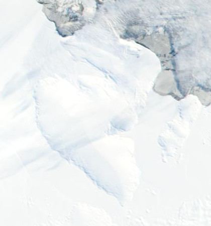 | ||
Spaatz Island is a large ice-covered island of Antarctica. It lies south west of Alexander Island and west of the base of the Antarctic Peninsula, close to the coast of Palmer Land, 48 km (30 mi) east of Smyley Island. It is 80 km (50 mi) long and 40 km (25 mi) wide, and covers an area of around 4,100 km2 (1,583 sq mi).
Map of Spaatz Island, Antarctica
The north side of the island forms a portion of the south margin of Ronne Entrance; the remainder of the island is surrounded by the ice shelves of Stange Sound and George VI Sound. Finn Ronne and Carl Eklund of the US Antarctic Service (USAS) (1939–41) sledged along the north side of this feature in December 1940. It was photographed from the air and first mapped as an island by the Ronne Antarctic Research Expedition (RARE) (1947–48) under Finn Ronne. It was named by Ronne for Gen. Carl Spaatz, Chief of Staff, USAAF, who gave assistance in providing an airplane for use of RARE.