
Area 19,694 km² | Capital Bo Local time Tuesday 11:41 AM | |
 | ||
Weather 32°C, Wind W at 6 km/h, 64% Humidity Points of interest Tiwai Island, Kangari Hills Forest Reserve, Gola Forest Reserve Colleges and Universities Njala University, Bo Teacher's College | ||
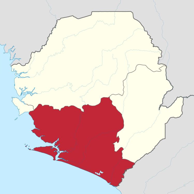
The Southern Province is one of three provinces of Sierra Leone. It covers an area of 19,694 km² and has a population of 1,438,572 (2015 census). It consists of four districts (Bo, Bonthe, Moyamba, and Pujehun). Its capital and administrative center is Bo, which is also the second largest and second most populated city in Sierra Leone after the nation's capital Freetown. The population of the southern province is largely from the Mende ethnic group.
Contents
Map of Southern Province, Republic of Sierra Leone
Districts
The province is divided into 4 districts.
Borders
Southern Province has the following borders:
To the south and west of Southern Province is the Atlantic Ocean.
Ecology
Sierra Leone's last remaining stand of rainforest is at Gola.
References
Southern Province, Sierra Leone Wikipedia(Text) CC BY-SA