
West end: Central Tainan City | Length 208.3 km | |
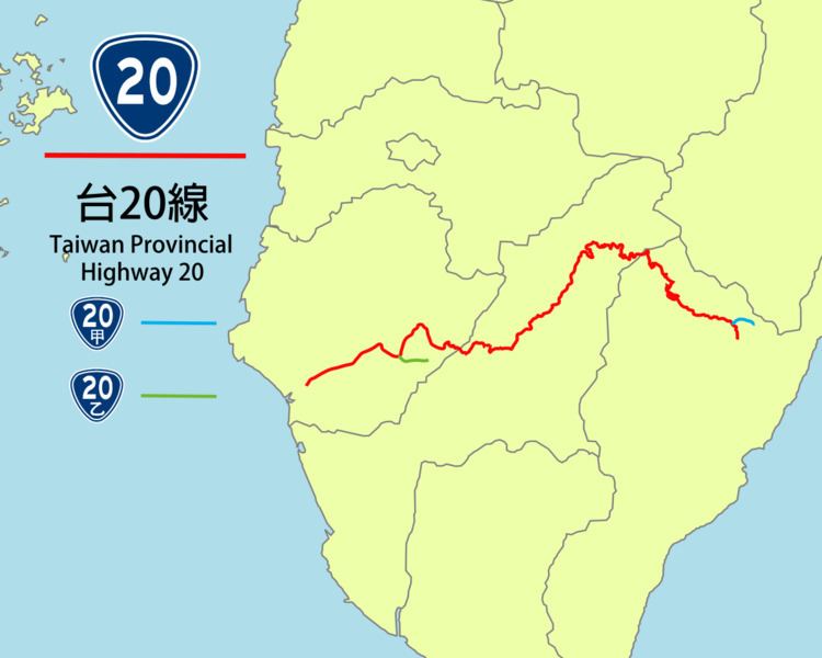 | ||
East end: PH 9 in Guanshan, Taitung | ||
The Southern Cross-Island Highway (Chinese: 南橫公路; pinyin: Nán Héng Gōnglù), also known as Provincial Highway No. 20, links Tainan City and Taitung City, in Taiwan. The road is 209 km long.
Map of Nanheng Rd, Taiwan
From west to east, the road passes through the townships of Sinhua, Yujing, Jiasian, and then the aboriginal communities of Taoyuan, Meishan, and Lidao.
The highest point of the road, Yakou Tunnel, is 2,731 m (8,960 ft) above sea level. The section from Meishan to Yakou Tunnel lies within Yushan National Park. Before crossing the Central Mountain Range, the road follows the Laonong River Valley for a considerable distance.
The road, considered one of South Taiwan's major tourist attractions, is sometimes damaged by landslides, especially during the wet summer months. The route was cut through the mountains in the early 1970s, but the highest sections were not properly surfaced until 1992.
This highway and its 50 m surrounding used to have mountain entry control so visitors had to pay a low fee to get Class B mountain entry permits (入山許可證). The mountain entry control is no longer in effect so mountain entry permits are no longer required.
Driving from Tainan City to Taitung takes five to seven hours.