
OS grid reference SU752897 Country England Post town Henley-on-Thames Shire county Buckinghamshire Dialling code 01491 UK parliament constituency Wycombe | Region South East Sovereign state United Kingdom Postcode district RG9 District Wycombe District Civil parish Turville | |
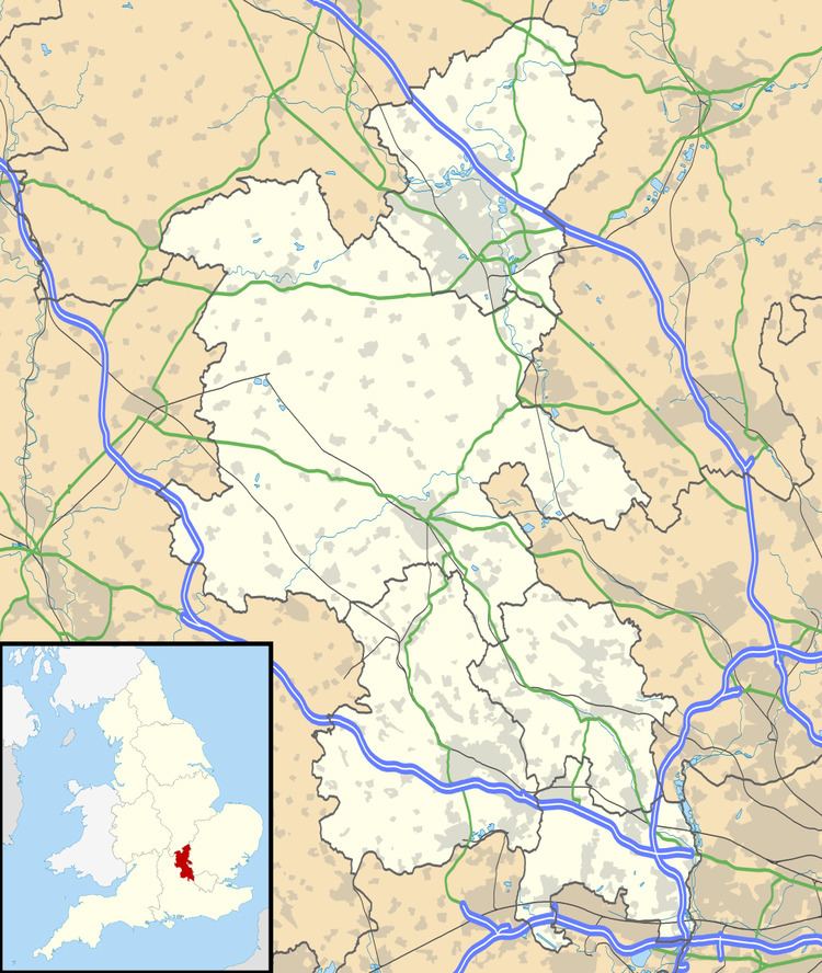 | ||
Southend is a hamlet, in the civil parish of Turville (where at the 2011 Census the population was included ) near to the village of the same name in Buckinghamshire, England. It lies in the Chiltern Hills at an elevation of 188m near the Oxfordshire border above and to the west of the Hambleden Valley.
Map of Southend, Henley-on-Thames, UK
There are some houses and cottages around a rough village green and two small ponds.
References
Southend, Buckinghamshire Wikipedia(Text) CC BY-SA