
OS grid reference SE989543 Sovereign state United Kingdom Postcode district YO25 Dialling code 01377 | Post town DRIFFIELD Local time Tuesday 8:59 AM | |
 | ||
Weather 7°C, Wind S at 5 km/h, 95% Humidity | ||
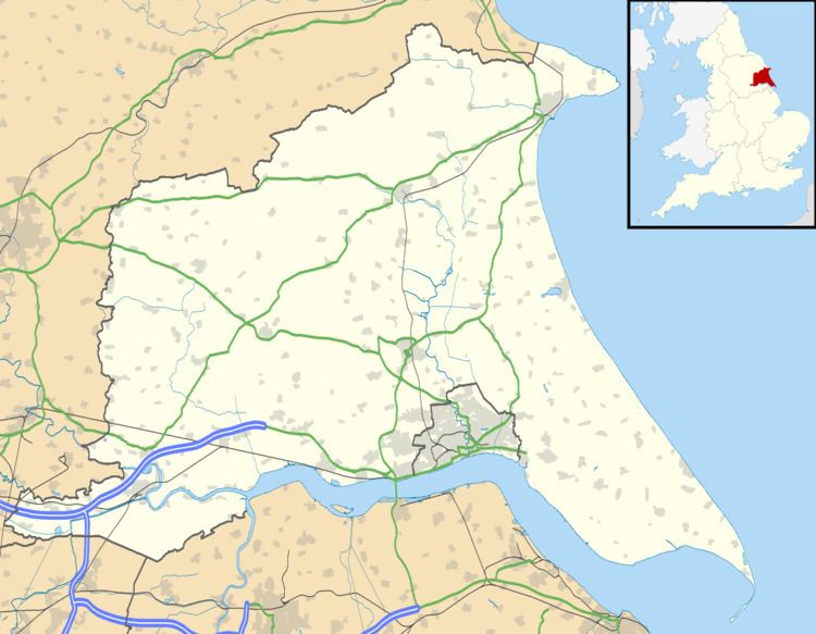
Southburn is a hamlet in the East Riding of Yorkshire, England, it forms part of the civil parish of Kirkburn. It is situated in the Yorkshire Wolds just south of the A164 road, approximately 3 miles (4.8 km) south-west of Driffield and 2.5 miles (4 km) north-west of Hutton Cranswick.
Map of Southburn, Driffield, UK
From 1890 until 1954 Southburn was served by Southburn railway station on the Selby to Driffield Line.
References
Southburn Wikipedia(Text) CC BY-SA