Population 5,879 (2011 census) Local time Tuesday 5:52 PM | Postcode(s) 2756 Postal code 2756 | |
 | ||
Weather 24°C, Wind SE at 13 km/h, 76% Humidity | ||
South Windsor is a suburb of the town of Windsor, on the outskirts of Sydney, in the state of New South Wales, Australia. It is generally bounded in the west by Rickabys Creek and in the east by South Creek, both tributaries of the Hawkesbury River.
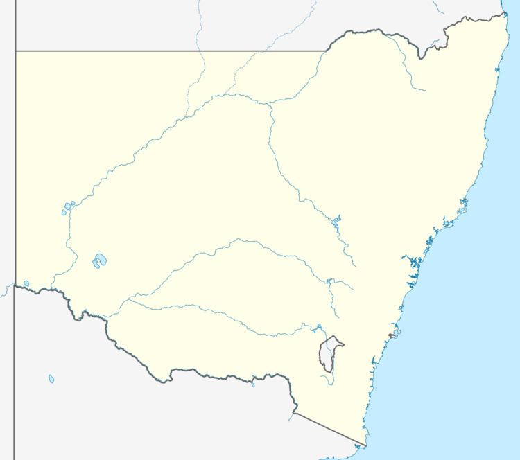
Map of South Windsor NSW 2756, Australia
In the 2011 census, South Windsor recorded a population of 5,879 people, making it more populous than Windsor to the north, which is the commercial centre. It is also home of the high school Bede Polding College.
South Windsor was previously called "Newtown"; the new name of "South Windsor" was assigned on 10 September 2004.
The population is somewhat younger than the bulk of the country. In the 2011 census, the median age of people in South Windsor was 33 years, compared to the national median of 37 years. Children aged under 15 years made up 22.7% of the population, and people aged 65 years and over made up 10.2% of the population.
The majority of residents (82.6%) were born in Australia, compared to the national average of 69.8%; the next most common countries of birth were England 4.3%, New Zealand 2.1%, Scotland 0.8%, Philippines 0.7% and Malta 0.4%.
