
Location Bass Strait Highest elevation 120 m (390 ft) Population unpopulated | Area 19.1 ha (47 acres) Elevation 120 m | |
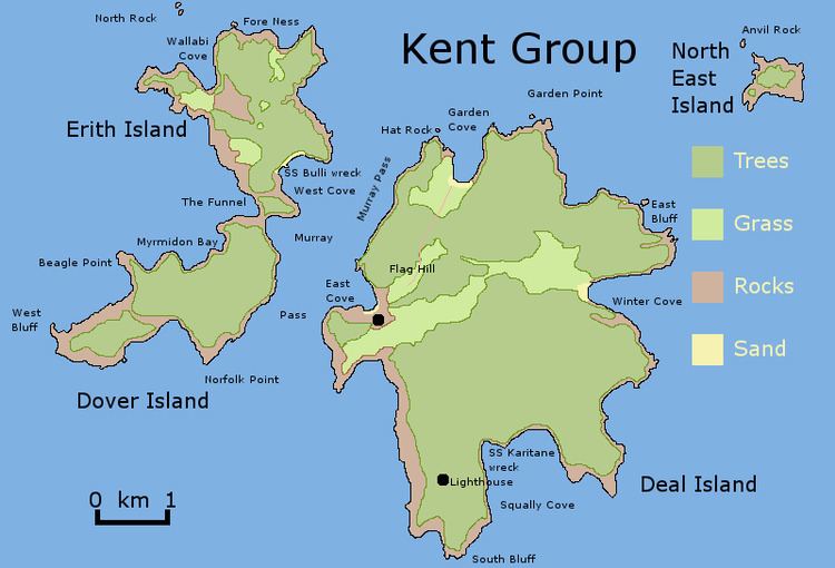 | ||
The South West Isle, part of the Kent Group, is an unpopulated 19.09-hectare (47.2-acre) granite island, located in the Bass Strait, lying off the north-east coast of Tasmania, between the Furneaux Group and Wilsons Promontory in Victoria, Australia.
Contents
Map of South West Isle, Tasmania, Australia
The island has a peak elevation of 120 metres (390 ft) and is contained within the Kent Group National Park, Tasmania's northernmost national park, which was gazetted in 2002.
Fauna
Recorded breeding seabird, wader and waterbird species include little penguin, short-tailed shearwater, fairy prion, common diving-petrel, Pacific gull, silver gull, sooty oystercatcher and Cape Barren goose. Reptiles present are the metallic skink, Bougainville's skink and White's skink.
References
South West Isle (Tasmania) Wikipedia(Text) CC BY-SA