
Country United States ZIP codes 79258 Elevation 980 m | Time zone Central (CST) (UTC-6) GNIS feature ID 1368739 Local time Monday 10:59 PM | |
 | ||
Weather 13°C, Wind SE at 19 km/h, 51% Humidity | ||
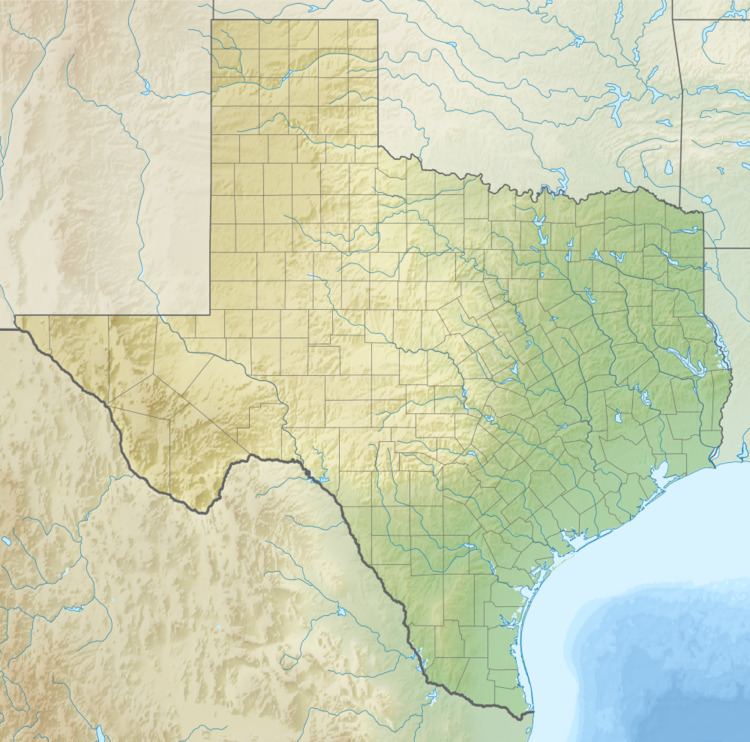
South Plains is an unincorporated community in northern Floyd County, Texas, United States. It lies along State Highway 207 north of the city of Floydada, the county seat of Floyd County. Its elevation is 3,215 feet (980 m). Although South Plains is unincorporated, it has a post office, with the ZIP code of 79258.
Map of South Plains, TX 79258, USA
South Plains' post office was first established in 1909 several miles from the current location; it was moved twice before reaching the current location in 1927, along the Fort Worth and Denver Railway. The community flourished in the 1920s, with a school and businesses being established, but the coming of the Great Depression caused the community to decline.
References
South Plains, Texas Wikipedia(Text) CC BY-SA