
Population 2,629 (2011 Census) Civil parish South Hanningfield Local time Tuesday 1:33 AM | OS grid reference TQ743976 Sovereign state United Kingdom Dialling code 01268 | |
 | ||
Weather 6°C, Wind E at 8 km/h, 88% Humidity | ||
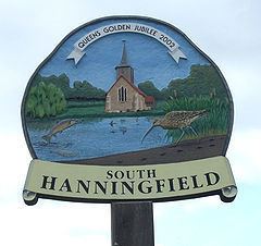
South Hanningfield is a small village and civil parish in the Chelmsford district of Essex, England. The village is located on the south bank of the Hanningfield Reservoir, around 6 miles (10 km) south-southeast of the city of Chelmsford, and around 2 1⁄2 miles (4 km) north of Wickford.
Map of South Hanningfield, Chelmsford, UK
The centre of South Hanningfield is situated around the village green, known as the Tye. A village hall is located on the east side of the Tye, while on the west side is a pub, the Old Windmill. There are approximately 80 households in the village.
The civil parish includes the larger villages of Ramsden Heath and Downham.
References
South Hanningfield Wikipedia(Text) CC BY-SA