
Time zone CST (UTC-6) Area 170.4 km² Population 2,788 (2010) | Established November 7, 1865 Elevation 182 m Local time Monday 7:06 PM | |
 | ||
ZIP codes 62517, 62531, 62540, 62546, 62558, 62568, 62570 Weather 12°C, Wind N at 14 km/h, 99% Humidity | ||
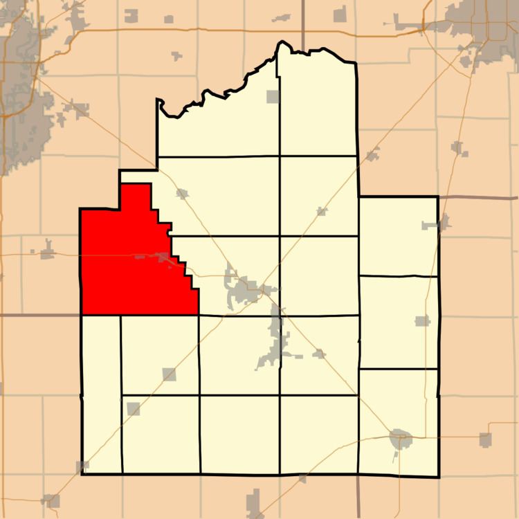
South Fork Township is one of seventeen townships in Christian County, Illinois, USA. As of the 2010 census, its population was 2,788 and it contained 1,309 housing units.
Contents
- Map of South Fork Township IL USA
- Geography
- Cities towns villages
- Unincorporated towns
- Cemeteries
- Major highways
- School districts
- Political districts
- References
Map of South Fork Township, IL, USA
Geography
According to the 2010 census, the township has a total area of 65.79 square miles (170.4 km2), of which 62.13 square miles (160.9 km2) (or 94.44%) is land and 3.67 square miles (9.5 km2) (or 5.58%) is water. The township contains Sangchris Lake State Recreation Area.
Cities, towns, villages
Unincorporated towns
Cemeteries
The township contains these three cemeteries: Achenback Lutheran, Bethany and Finley.
Major highways
School districts
Political districts
References
South Fork Township, Christian County, Illinois Wikipedia(Text) CC BY-SA