
Country United States GNIS feature ID 0766247 Area 120 km² Population 5,431 (2010) | FIPS code 29-68744 Elevation 229 m Local time Monday 7:06 PM | |
 | ||
Weather 14°C, Wind NW at 13 km/h, 82% Humidity | ||
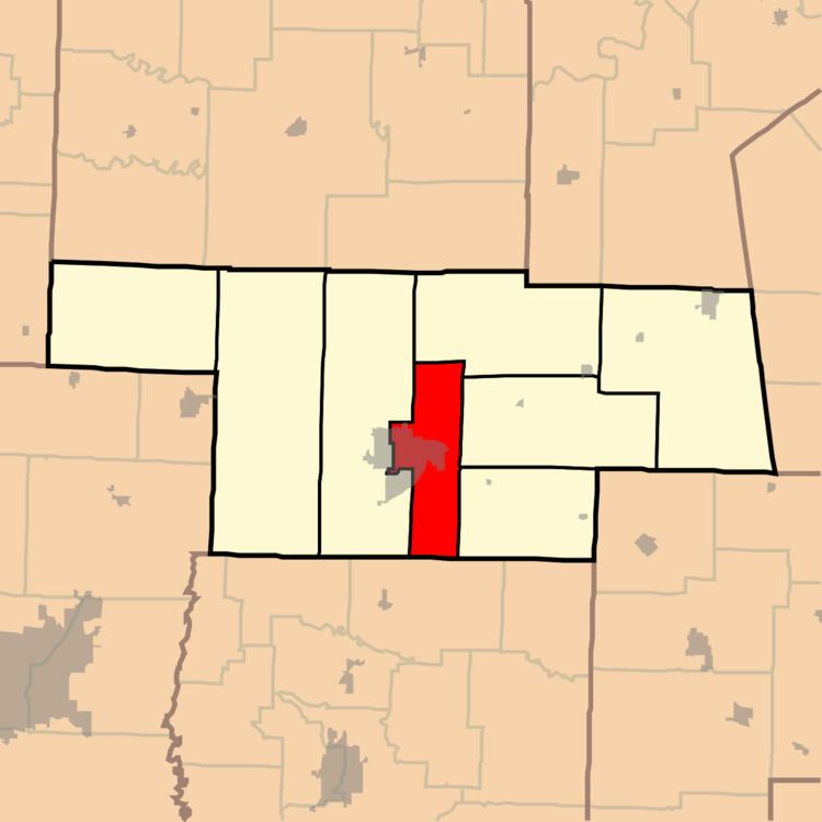
South Fork Township is one of eight townships in Audrain County, Missouri, United States. As of the 2010 census, its population was 5,431.
Contents
Map of South Fork Township, MO 65265, USA
Geography
South Fork Township covers an area of 46.3 square miles (120.0 km2) and contains one incorporated settlement, Vandiver. It contains three cemeteries: East Lawn Memorial, Lockridge and New Hope.
Blackmore Lake, Teal Lake and Timber Lake are within this township. The streams of Beaverdam Creek, Davis Creek, Elm Branch, Long Branch, Scattering Fork and Youngs Creek run through this township.
Transportation
South Fork Township contains one airport or landing strip, Mexico Memorial Airport.
References
South Fork Township, Audrain County, Missouri Wikipedia(Text) CC BY-SA