
 | ||
The statistical areas of the United States of America comprise the metropolitan statistical areas (MSAs), the micropolitan statistical areas (μSAs), and the combined statistical areas (CSAs) currently defined by the United States Office of Management and Budget (OMB).
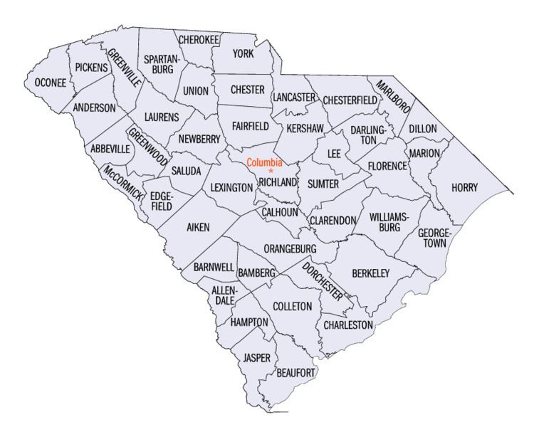
Most recently on December 1, 2009, the Office of Management and Budget defined 1067 statistical areas for the United States, including 4 combined statistical areas, 10 metropolitan statistical areas, and 13 micropolitan statistical areas in the State of South Carolina. The table below shows the recent population of these statistical areas and the 46 counties of South Carolina.
Table
The table below describes the 27 United States statistical areas and 46 counties of the State of South Carolina with the following information:
- The combined statistical area (CSA) as designated by the OMB.
- The CSA population as of 2015, as estimated by the United States Census Bureau.
- The core based statistical area (CBSA) as designated by the OMB.
- The CBSA population as of 2015, as estimated by the United States Census Bureau.
- The county name.
- The county population as of 2015, as estimated by the United States Census Bureau.