Country United States ZIP codes 52334 Elevation 237 m Local time Monday 1:21 PM | Time zone Central (CST) (UTC-6) GNIS feature ID 461756 Zip code 52334 Population 159 (2010) | |
 | ||
Weather 9°C, Wind N at 6 km/h, 81% Humidity | ||
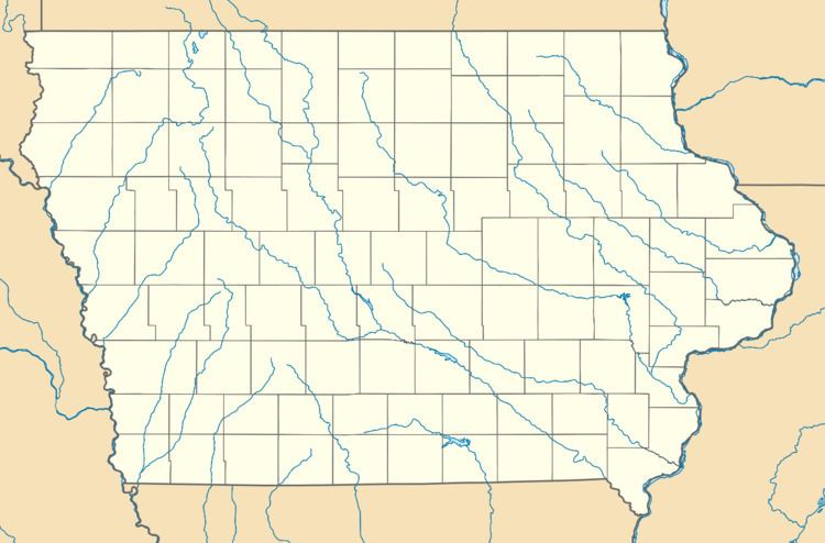
South Amana is an unincorporated community and census-designated place in northern Iowa County, Iowa, United States, and is part of the seven villages of the Amana Colonies. It lies along U.S. Route 6 east of the city of Marengo, the county seat of Iowa County. Its elevation is 778 feet (237 m). Although South Amana is unincorporated, it has a post office with the ZIP code of 52334, which opened on 19 June 1874.
Map of South Amana, IA 52334, USA
South Amana was a shipping point on the Chicago, Rock Island and Pacific Railroad.
As of the 2010 Census the population of South Amana was 159.
References
South Amana, Iowa Wikipedia(Text) CC BY-SA
