
Country United States County Mono County Local time Sunday 6:23 PM | State California Elevation 2,109 m | |
 | ||
Weather 7°C, Wind SW at 21 km/h, 50% Humidity | ||
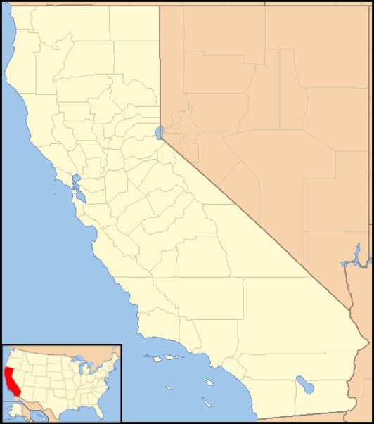
Sonora Junction is an unincorporated community in Mono County, eastern California.
Contents
Map of Sonora Junction, CA 96107, USA
Geography
It is located in the eastern Sierra Nevada at an elevation of 6919 feet (2109 m). It is 3 miles (4.8 km) west of Fales Hot Springs,
According to the Mono County's government website, the population of Sonora Junction and area as of 2000 was 217.
History
The Junction House, a stage station, was built by A. Mack at Sonora Junction in the 1860s. A road branched from the main road at the junction, heading up to Sonora Pass. They are the present day U.S. Highway 395, and State Route 108 to the pass
References
Sonora Junction, California Wikipedia(Text) CC BY-SA