
Area 47.84 km² Local time Monday 7:52 AM | Population 2,230 (31 Mar 2005) | |
 | ||
Time zone Japan Standard Time (UTC+9) City hall address 495-1 Ōaza Imai, Soni-mura, Uda-gun, Nara-ken633-1212 Weather 3°C, Wind W at 18 km/h, 93% Humidity Points of interest Mt. Kuroso, Yoroidake, Kabutodake, Kogoyama | ||
Soni (曽爾村, Soni-mura) is a village located in Uda District, Nara Prefecture, Japan.
Contents
- Map of Soni Uda District Nara Prefecture Japan
- Geography
- Surrounding municipalities
- Notable locations
- References
Map of Soni, Uda District, Nara Prefecture, Japan
As of 2005, the village has an estimated population of 2,230 and a density of 46.61 persons per km2. The total area is 47.84 km2.
Geography
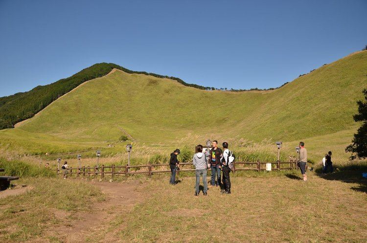
The village of Soni is located in the northeastern portion of Nara Prefecture, in Uda District. It is situated in a cool climate, and most dwellings are located near the valley. Many mountains, including the Byōbu-iwa, are close to the valley. Also, the Shōrenji River flows through the village.
Surrounding municipalities
Notable locations
References
Soni, Nara Wikipedia(Text) CC BY-SA