
Intercommunality Cœur d'Ostrevent Area 12.32 km² Local time Sunday 12:25 PM | Canton Marchiennes Time zone CET (UTC+1) Population 12,099 (2007) | |
 | ||
Weather 14°C, Wind E at 18 km/h, 51% Humidity | ||
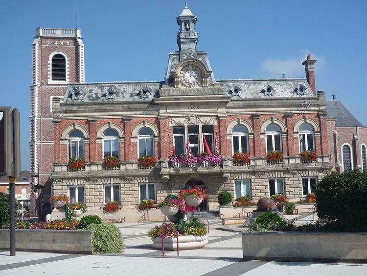
Somain is a commune in the Nord department in northern France. The former commune of Villers-Campeau was absorbed by Somain in 1947. The town was known for its extensive mining industry.
Contents
- Map of Somain France
- Mining
- Transport
- Politics
- Primary Schools
- Colleges
- Lyces
- Twin towns
- Famous people from Somain
- References
Map of Somain, France
Mining
Most nearby mines were operated by either the Aniche Mining Company or the Anzin Mining Company.
The Renaissance mine was the first mine. It was opened in the south of the town in 1839. It was soon followed by the St Louis mine, which opened in 1843, and was located a few hundred yards south of the Renaissance mine. The Renaissance mine closed in 1890, and the St Louis mine in 1925.
In 1856, the Anzin Mining Company opened the Casimir Périer mine in the South East of the town, near Fenain and Abscon. Coal extraction ceased at the Casimir Périer mine in 1935, but the mine remained open to allow access to another local pit, the Saint Mark mine.
The Aniche mining company opened the De Sessavalle mine in 1902. The mine closed in 1970.
Transport
Somain was previously served by the following rail lines: Somain - Péruwelz, Aubigny-au-Bac - Somain, Somain - Halluin via Orchies, Somain - Douai (Nord), and Somain - Douai (Sud).
Politics
Since 1912, the town has had the following mayors:
Primary Schools
There are various primary schools in Somain:
Colleges
Somain has three colleges:
There are plans to renovate Collège Victor-Hugo to meet HQE standards.
Lycées
There are two lycées in Somain: