
Climate Cwb Area 94 km² | Founded 1547 Elevation 2,114 m Local time Sunday 2:01 AM | |
 | ||
Website inforpressca.com/solola Weather 11°C, Wind N at 5 km/h, 82% Humidity Points of interest Lake Atitlán, Mirador del Lago Atitlán, Torre Centroamericana | ||
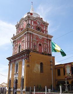
Sololá is a city in Guatemala. It is the capital of the department of Sololá and the administrative seat of Sololá municipality. It resides around lake Atitlan.
Map of Solol%C3%A1, Guatemala
The name is a hispanicized form of its pre-Columbian name, one spelling variant of which is Tz'olojya. The urban center has about 14,000 people, but the municipality also includes four village communities—Los Encuentros, El Tablón, San Jorge la Laguna, and Argueta—as well as 59 smaller rural communities.
Sololá is situated at 2.114 m on a mountainside overlooking Lake Atitlán, some 600 meters below. It is a highland market center and is the headquarters for the Catholic Bishopric encompassing the Sololá and Chimaltenango Departments.
Almost all residents of Sololá are Kaqchikel Maya, except in Argueta, where most are K'iche' Maya. A large percentage of both men and women continue to wear traditional Mayan clothing.
Sololá is home to many international organizations including Manna Project International, Friendship Bridge, Mayan Families and Love Futbol.